


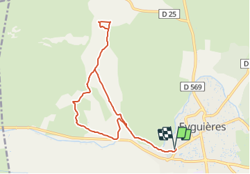
Eyguières-Vallon des Glauges - court

Berpav
Gebruiker

Lengte
9,4 km

Max. hoogte
160 m

Positief hoogteverschil
118 m
Km-Effort
10,9 km

Min. hoogte
95 m

Negatief hoogteverschil
118 m
Boucle
Ja
Datum van aanmaak :
2021-10-30 12:25:17.855
Laatste wijziging :
2021-10-30 12:26:14.013
2h29
Moeilijkheid : Medium

Gratisgps-wandelapplicatie
 SityTrail
IGN / Geografische instituten
SityTrail Plus
De wereld gaat voor u open
Over ons
Tocht Stappen van 9,4 km beschikbaar op Provence-Alpes-Côte d'Azur, Bouches-du-Rhône, Eyguières. Deze tocht wordt voorgesteld door Berpav.
Plaatsbepaling
Land:
France
Regio :
Provence-Alpes-Côte d'Azur
Departement/Provincie :
Bouches-du-Rhône
Gemeente :
Eyguières
Locatie:
Unknown
Vertrek:(Dec)
Vertrek:(UTM)
663031 ; 4839549 (31T) N.
Opmerkingen