


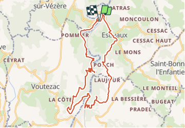

9,1 km | 11,5 km-effort

Gebruiker


Gratisgps-wandelapplicatie
 SityTrail
IGN / Geografische instituten
SityTrail World
De wereld gaat voor u open
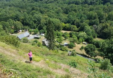
Tocht Stappen van 21 km beschikbaar op Nieuw-Aquitanië, Corrèze, Orgnac-sur-Vézère. Deze tocht wordt voorgesteld door houbart.
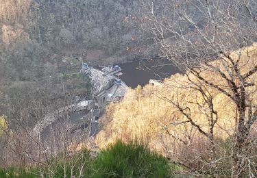
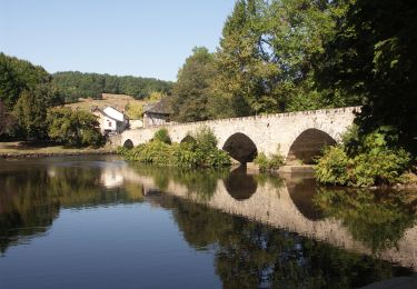
Aller (rive gauche): Estivaux, Pouch, la Roche, Barrage du Saillant, le Saillant (Pont et Château)
Retour (rive droite) : Barrage du Pouch, Barrage de Biard, Comborn (Pont et Château)


Stappen
Trail
Stappen

Stappen
Stappen

Stappen

Stappen

Motorfiets
Stappen