


alpilles chapelle saint gabriel

Dan30
Gebruiker
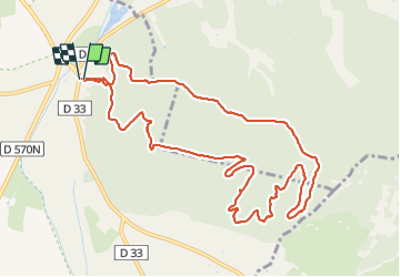

Lengte
13,1 km

Max. hoogte
200 m

Positief hoogteverschil
382 m
Km-Effort
18,2 km

Min. hoogte
12 m

Negatief hoogteverschil
387 m
Boucle
Ja
Datum van aanmaak :
2021-12-07 09:08:05.102
Laatste wijziging :
2021-12-07 14:24:32.435
3h26
Moeilijkheid : Gemakkelijk

Gratisgps-wandelapplicatie
 SityTrail
IGN / Geografische instituten
SityTrail Plus
De wereld gaat voor u open
Over ons
Tocht Stappen van 13,1 km beschikbaar op Provence-Alpes-Côte d'Azur, Bouches-du-Rhône, Tarascon. Deze tocht wordt voorgesteld door Dan30.
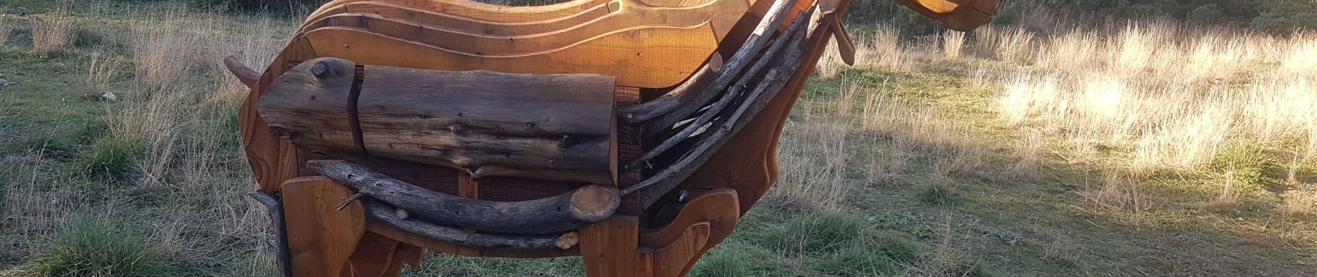
Foto's


Plaatsbepaling
Land:
France
Regio :
Provence-Alpes-Côte d'Azur
Departement/Provincie :
Bouches-du-Rhône
Gemeente :
Tarascon
Locatie:
Unknown
Vertrek:(Dec)
Vertrek:(UTM)
636412 ; 4847344 (31T) N.
Opmerkingen