


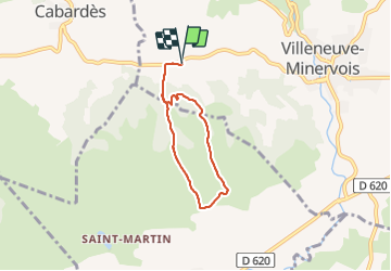

18,2 km | 26 km-effort


Gebruiker


Gratisgps-wandelapplicatie
 SityTrail
IGN / Geografische instituten
SityTrail World
De wereld gaat voor u open
Tocht Stappen van 5,4 km beschikbaar op Occitanië, Aude, Villeneuve-Minervois. Deze tocht wordt voorgesteld door cappelle.
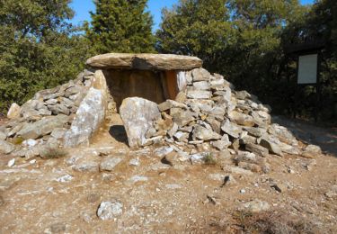
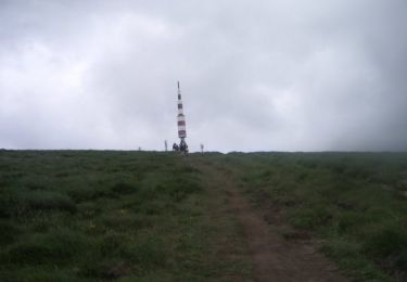
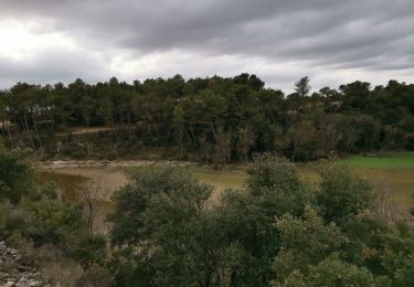
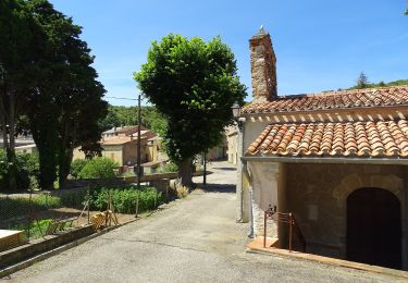
petite boucle sympa sans difficulté au départ de la chapelle de Saint Mames avec belle vue sur la chaîne des Pyrénées


Stappen
Mountainbike
Te voet

Stappen
Stappen
Stappen

Stappen