


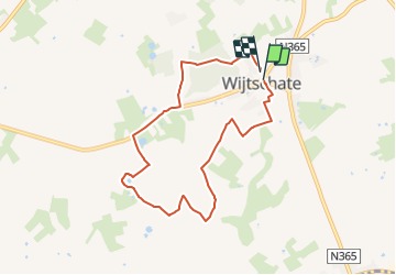

9,7 km | 11,4 km-effort


Tous les sentiers balisés d’Europe PRO


Gratisgps-wandelapplicatie
 SityTrail
IGN / Geografische instituten
SityTrail World
De wereld gaat voor u open
Tocht Te voet van 6,7 km beschikbaar op Vlaanderen, West-Vlaanderen, Heuvelland. Deze tocht wordt voorgesteld door SityTrail - itinéraires balisés pédestres.
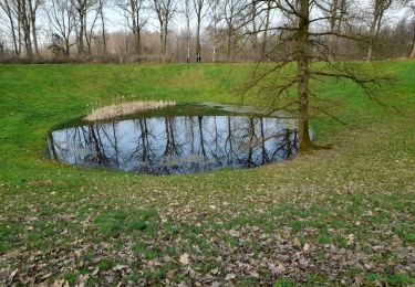
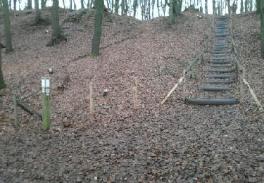
Het heuvelachtige gebied rond Wijtschate was op 7 juni 1917 het decor voor de Mijnenslag. Die dag kwamen 19 dieptemijnen tot ontploffing als aanval op de Duitse stellingen. Op deze wandelroute kan je vandaag nog enkele kraters van deze mijnen bemerken. In en rond Wijtschate ontdek je van dichtbij het verhaal van de Mijnenslag. Je komt er ook langs enkele militaire
Website: https://www.westtoer.be/nl/doen/kraters-en-mijnenwandelroute


Te voet
Te voet
Stappen

Stappen
Stappen
Stappen
Stappen
Stappen
Lopen