


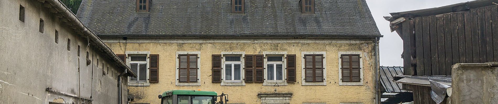
Fleche Bleu Fischbach II

SityTrail - itinéraires balisés pédestres
Tous les sentiers balisés d’Europe GUIDE+
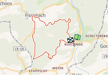

Lengte
8,3 km

Max. hoogte
411 m

Positief hoogteverschil
258 m
Km-Effort
11,8 km

Min. hoogte
295 m

Negatief hoogteverschil
265 m
Boucle
Ja

Markering
Datum van aanmaak :
2022-02-09 16:05:57.281
Laatste wijziging :
2022-02-09 18:26:48.11
2h40
Moeilijkheid : Gemakkelijk

Gratisgps-wandelapplicatie
 SityTrail
IGN / Geografische instituten
SityTrail Plus
De wereld gaat voor u open
Over ons
Tocht Te voet van 8,3 km beschikbaar op Onbekend, Canton Mersch, Fischbach. Deze tocht wordt voorgesteld door SityTrail - itinéraires balisés pédestres.
Foto's


Plaatsbepaling
Land:
Luxembourg
Regio :
Onbekend
Departement/Provincie :
Canton Mersch
Gemeente :
Fischbach
Locatie:
Unknown
Vertrek:(Dec)
Vertrek:(UTM)
298863 ; 5512971 (32U) N.
Opmerkingen