


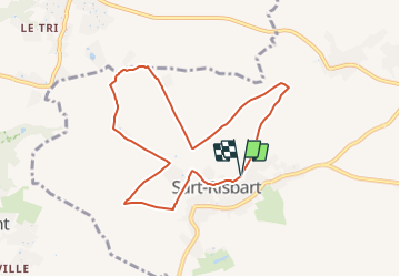

4,9 km | 5,6 km-effort

Tous les sentiers balisés d’Europe PRO


Gratisgps-wandelapplicatie
 SityTrail
IGN / Geografische instituten
SityTrail World
De wereld gaat voor u open
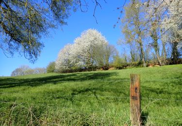
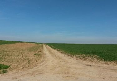
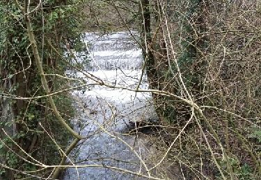
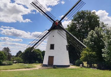
Tocht Te voet van 7,4 km beschikbaar op Wallonië, Waals-Brabant, Incourt. Deze tocht wordt voorgesteld door SityTrail - itinéraires balisés pédestres.
Trail created by Maison du Tourisme Hesbaye Brabançonne.
Symbol: Yellow diamond on a white background
Website: http://www.hesbayebrabanconne.be/fr/arnelle


Stappen
Te voet
Stappen
Stappen
Stappen

Stappen
Stappen

Stappen
Stappen