


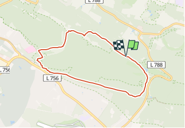

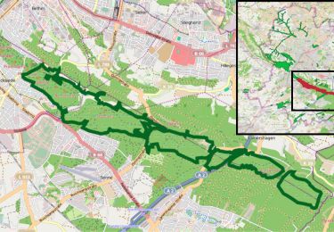
3,7 km | 4,5 km-effort


Tous les sentiers balisés d’Europe PRO


Gratisgps-wandelapplicatie
 SityTrail
IGN / Geografische instituten
SityTrail World
De wereld gaat voor u open
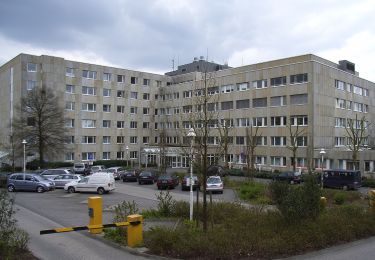
Tocht Te voet van 6,7 km beschikbaar op Noordrijn-Westfalen, Bielefeld, Onbekend. Deze tocht wordt voorgesteld door SityTrail - itinéraires balisés pédestres.
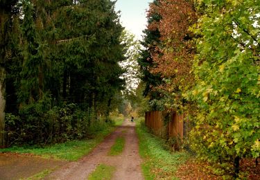
Trail created by Naturpark Südlicher Teutoburger Wald.
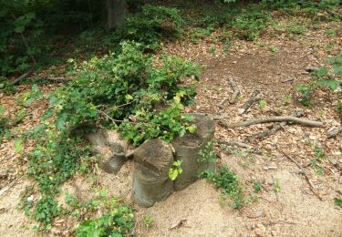
Symbol: weiße Sanduhr und Ziffer 4 auf schwarzem Grund


Te voet
Te voet
Te voet
Te voet
Te voet
Te voet
Te voet
Te voet
Te voet