


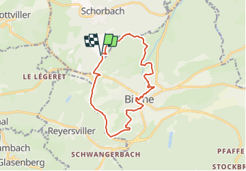

7,8 km | 10,1 km-effort

Tous les sentiers balisés d’Europe PRO


Gratisgps-wandelapplicatie
 SityTrail
IGN / Geografische instituten
SityTrail World
De wereld gaat voor u open
Tocht Te voet van 13,1 km beschikbaar op Grand Est, Moselle, Schorbach. Deze tocht wordt voorgesteld door SityTrail - itinéraires balisés pédestres.
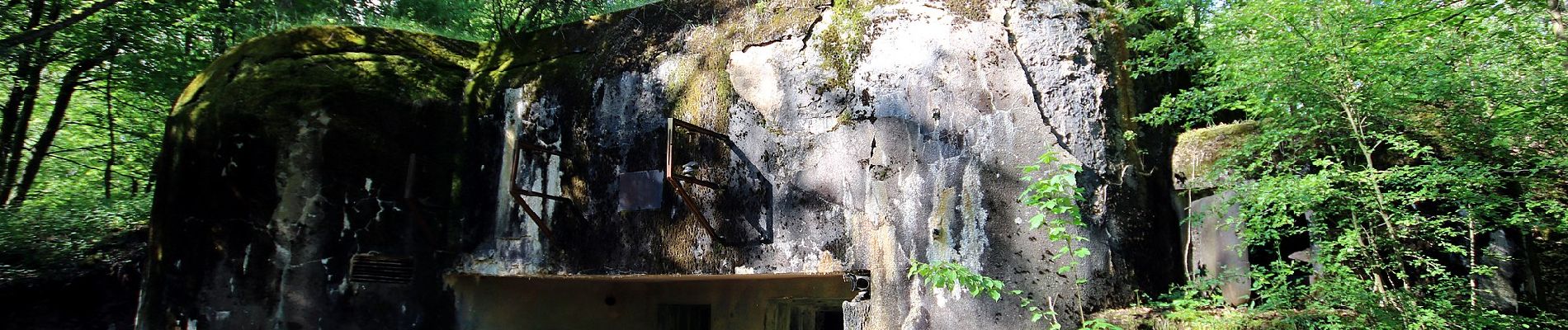
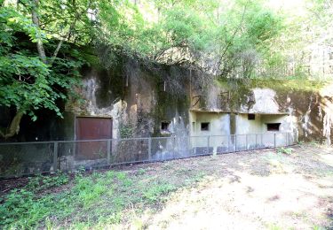
Trail created by Club vosgien Bitche.
Formerly marked by a vertical yellow rectangle.
Symbol: red circle with white dot in the middle
Website: https://ignrando.fr/fr/parcours/27495-3713et-bitche-9-anneau-rouge-circulaire-autour-de-bitche


Stappen

Stappen
Te voet
Te voet
Te voet
Te voet
Te voet
Paardrijden
Te voet
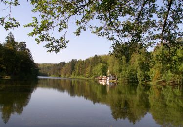
Superbe parcours pour découvrir Bitche.