


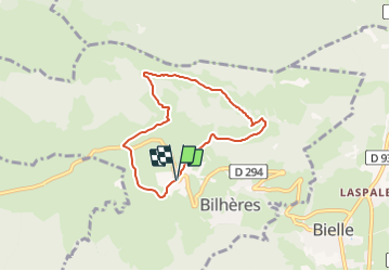

12,2 km | 25 km-effort

Tous les sentiers balisés d’Europe PRO


Gratisgps-wandelapplicatie
 SityTrail
IGN / Geografische instituten
SityTrail World
De wereld gaat voor u open
Tocht Te voet van 6,3 km beschikbaar op Nieuw-Aquitanië, Pyrénées-Atlantiques, Bilhères. Deze tocht wordt voorgesteld door SityTrail - itinéraires balisés pédestres.
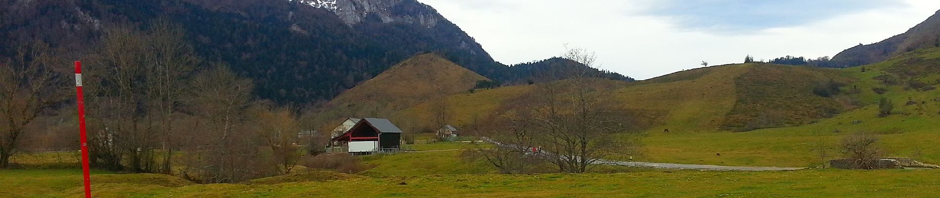
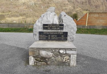
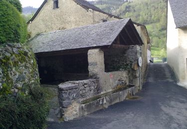
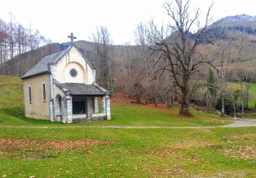
Les Cercles de pierres De Tarbes nous prenons la direction de la Vallée d'Ossau en passant par Pontacq, Asson, Louvie-Juzon et Bielle pour arriver au dessus de Bilhères en Ossau . Nous laissons notre voiture sur un paking à gauche de la chapelle de Houndas....
Website: http://maithejeanpaul.over-blog.com/article-le-plateau-du-benou-les-cromlechs-de-lous-couraus-105941291.html


Stappen

Stappen
Stappen
Stappen
Te voet

Te voet
Te voet
Te voet
Te voet