


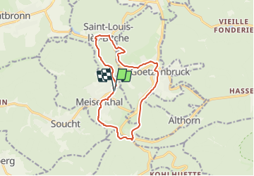

13,1 km | 17,5 km-effort

Tous les sentiers balisés d’Europe PRO


Gratisgps-wandelapplicatie
 SityTrail
IGN / Geografische instituten
SityTrail World
De wereld gaat voor u open
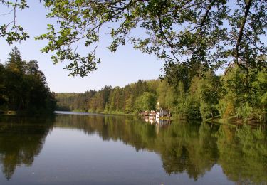
Tocht Te voet van 12,2 km beschikbaar op Grand Est, Moselle, Meisenthal. Deze tocht wordt voorgesteld door SityTrail - itinéraires balisés pédestres.
Trail created by Parc naturel régional des Vosges du Nord;Club vosgien.
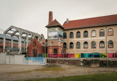
Also named "Boucle du Verre et du Cristal".
Symbol: Turquoise square with light blue crystal glass and white logo in the middle
Website: https://www.randovosgesdunord.fr/pedestre/boucle-du-verre-et-du-cristal/


Stappen
Te voet
Te voet
Te voet
Te voet
Te voet
Te voet
Te voet
Te voet