


Alta Via n. 1 della Valle d'Aosta - Tappa 17

SityTrail - itinéraires balisés pédestres
Tous les sentiers balisés d’Europe GUIDE+


4h08
Moeilijkheid : Gemakkelijk

Gratisgps-wandelapplicatie
 SityTrail
IGN / Geografische instituten
SityTrail Plus
De wereld gaat voor u open
Over ons
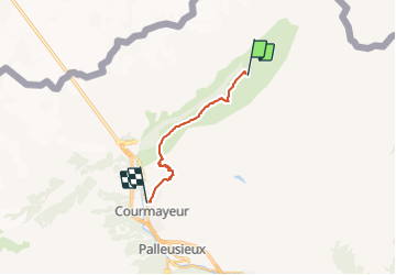
Tocht Te voet van 11,9 km beschikbaar op Valle d'Aosta, Onbekend, Courmayeur. Deze tocht wordt voorgesteld door SityTrail - itinéraires balisés pédestres.
Beschrijving
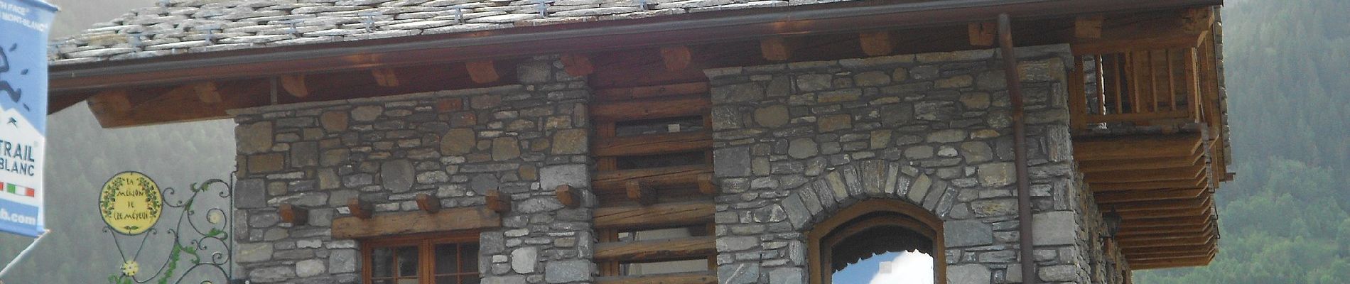
Rifugio Walter Bonatti - Courmayeur Alte Vie
Website: http://www.lovevda.it/it/banca-dati/7/alte-vie/valle-d-aosta/rifugio-walter-bonatti-courmayeur/2975
Foto's


Plaatsbepaling
Opmerkingen