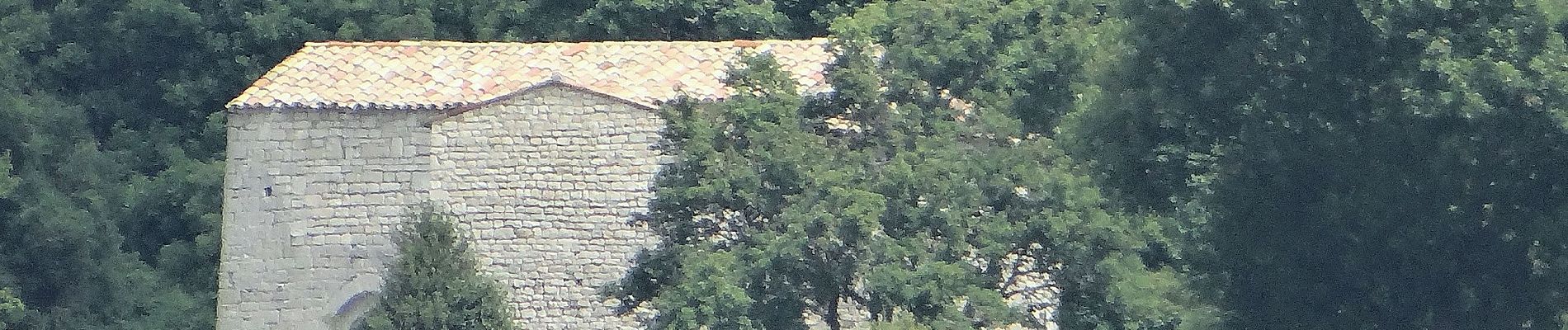
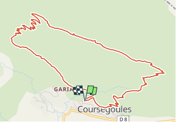
Tocht Te voet Coursegoules - Circuit du Viériou - Photo

Tous les sentiers balisés d’Europe GUIDE+

© OpenStreetMap contributors
Lengte
Lengte
7,5 km
Max. hoogte
Max. hoogte
1415 m
Positief hoogteverschil
420 m
Km-Effort
Km-Effort  
13,1 km
Min. hoogte
Min. hoogte
1009 m
Negatief hoogteverschil
424 m
Boucle
Boucle
Ja
Markering
Markering
Datum van aanmaak :
2022-02-15 18:35:03.969
Laatste wijziging :
2022-03-02 21:12:32.569

(0 Bericht)

Te voet
Te voet
2h58
Moeilijkheid : Gemakkelijk

Scan deze QR-code om de tocht te openen in de SityTrail-applicatie

Gratisgps-wandelapplicatie

Logo SityTrail SityTrail

IGN / Geografische instituten

SityTrail uit de App Store downloaden SityTrail uit Google Play downloaden

Logo SityTrail SityTrail Plus

De wereld gaat voor u open

SityTrail uit de App Store downloaden SityTrail uit Google Play downloaden SityTrail op Huawei AppGallery downloaden

Over ons

Tocht Te voet van 7,5 km beschikbaar op Provence-Alpes-Côte d'Azur, Alpes-Maritimes, Coursegoules. Deze tocht wordt voorgesteld door SityTrail - itinéraires balisés pédestres.

Beschrijving

Randonnée pédestre - Au départ de Coursegoules (1 020 m)

Website: https://randoxygene.departement06.fr/siagne-loup/circuit-du-vieriou-9077.html

Hoogteprofiel

Foto's

Plaatsbepaling

Land:
France
Regio :
Provence-Alpes-Côte d'Azur
Departement/Provincie :
Alpes-Maritimes
Gemeente :
Coursegoules
Locatie:
Unknown
Vertrek:(UTM)
342375 ; 4850964 (32T) N.


Sluiten
Mijn abonnementen