


Walk from Savines through exercise park

SityTrail - itinéraires balisés pédestres
Tous les sentiers balisés d’Europe GUIDE+


Lengte
3,4 km

Max. hoogte
1048 m

Positief hoogteverschil
234 m
Km-Effort
5,8 km

Min. hoogte
815 m

Negatief hoogteverschil
7 m
Boucle
Neen

Markering
Datum van aanmaak :
2022-02-17 10:56:00.516
Laatste wijziging :
2022-03-03 22:15:44.621
1h19
Moeilijkheid : Gemakkelijk

Gratisgps-wandelapplicatie
 SityTrail
IGN / Geografische instituten
SityTrail Plus
De wereld gaat voor u open
Over ons
Tocht Te voet van 3,4 km beschikbaar op Provence-Alpes-Côte d'Azur, Hautes-Alpes, Savines-le-Lac. Deze tocht wordt voorgesteld door SityTrail - itinéraires balisés pédestres.
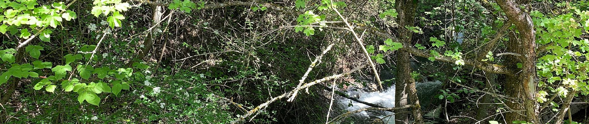
Foto's


Plaatsbepaling
Land:
France
Regio :
Provence-Alpes-Côte d'Azur
Departement/Provincie :
Hautes-Alpes
Gemeente :
Savines-le-Lac
Locatie:
Unknown
Vertrek:(Dec)
Vertrek:(UTM)
293635 ; 4933339 (32T) N.
Opmerkingen