


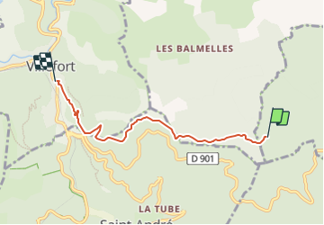

23 km | 31 km-effort

Tous les sentiers balisés d’Europe PRO


Gratisgps-wandelapplicatie
 SityTrail
IGN / Geografische instituten
SityTrail World
De wereld gaat voor u open
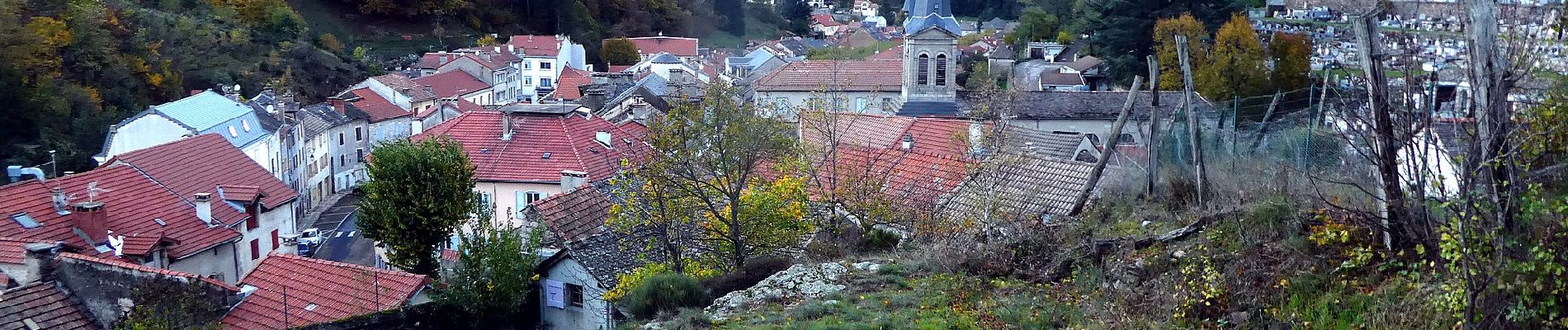
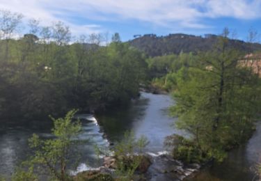
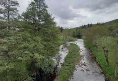
Tocht Te voet van 4,8 km beschikbaar op Occitanië, Gard, Malons-et-Elze. Deze tocht wordt voorgesteld door SityTrail - itinéraires balisés pédestres.
Trail created by Fédération française de randonnée pédestre.


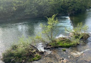
Stappen
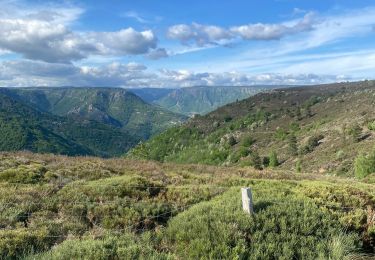
Stappen

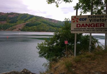
Stappen
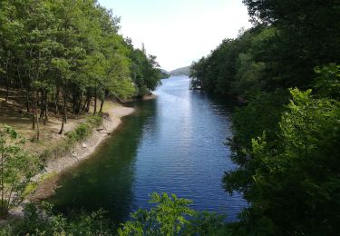
Stappen

Stappen
Stappen

Stappen
Stappen
Stappen