


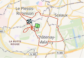


11,9 km | 14 km-effort

Gebruiker


Gratisgps-wandelapplicatie
 SityTrail
IGN / Geografische instituten
SityTrail World
De wereld gaat voor u open
Tocht Stappen van 11 km beschikbaar op Île-de-France, Hauts-de-Seine, Châtenay-Malabry. Deze tocht wordt voorgesteld door PatRando.
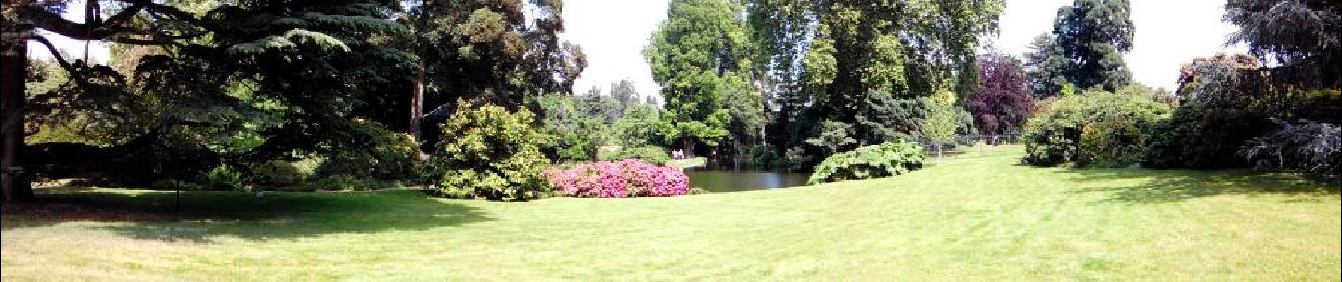
La Vallée aux Loups


Stappen

Stappen

Stappen

Stappen

Stappen
Te voet

Stappen
Stappen
Stappen