


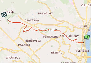

4,7 km | 6,8 km-effort

Tous les sentiers balisés d’Europe PRO


Gratisgps-wandelapplicatie
 SityTrail
IGN / Geografische instituten
SityTrail World
De wereld gaat voor u open
Tocht Te voet van 5,4 km beschikbaar op Centraal-Hongarije, Boedapest, Onbekend. Deze tocht wordt voorgesteld door SityTrail - itinéraires balisés pédestres.
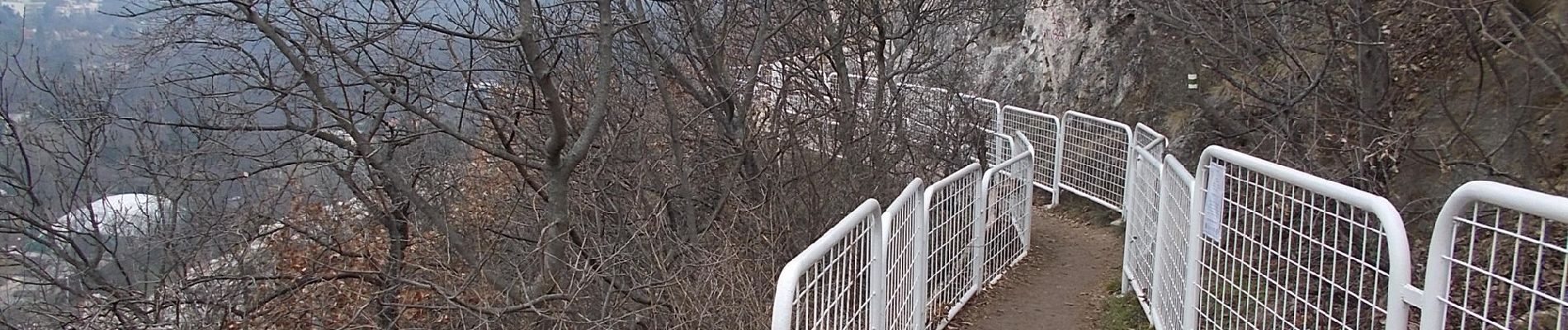
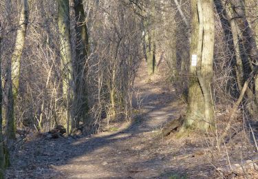
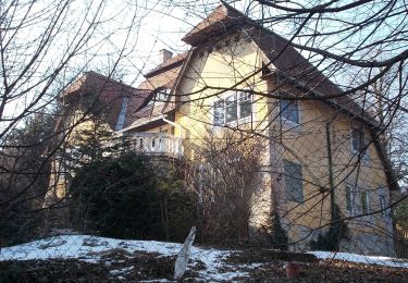
 - Photo 1")
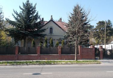
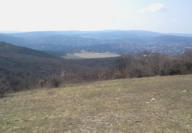
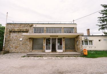
 - Photo 2")
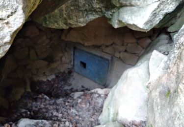
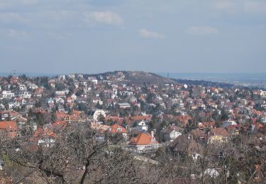
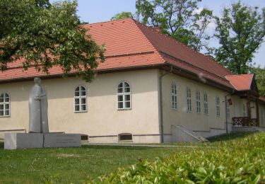
 - Photo 3")
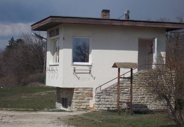
 - Photo 4")
 - Photo 5")
 - Photo 6")
 - Photo 7")
 - Photo 8")
 - Photo 9")
 - Photo 10")
Te voet
Te voet
Te voet
Te voet
Te voet
Te voet
Te voet
Te voet
Te voet