


balade pedestre 11 avril 2022

gilbertdu60
Gebruiker
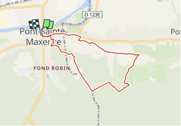

Lengte
7,2 km

Max. hoogte
130 m

Positief hoogteverschil
140 m
Km-Effort
9,1 km

Min. hoogte
34 m

Negatief hoogteverschil
140 m
Boucle
Ja
Datum van aanmaak :
2022-04-11 17:31:23.769
Laatste wijziging :
2022-04-11 17:56:05.258
2h04
Moeilijkheid : Gemakkelijk

Gratisgps-wandelapplicatie
 SityTrail
IGN / Geografische instituten
SityTrail Plus
De wereld gaat voor u open
Over ons
Tocht Te voet van 7,2 km beschikbaar op Hauts-de-France, Oise, Pont-Sainte-Maxence. Deze tocht wordt voorgesteld door gilbertdu60.
Beschrijving
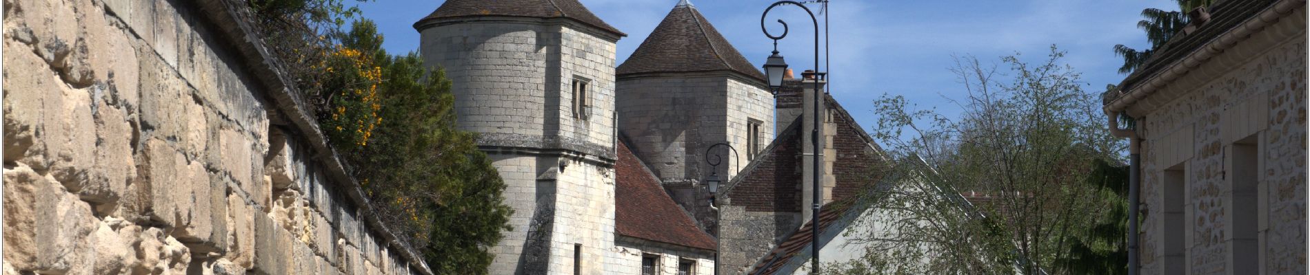
petite balade ensoleillée, sur les coteaux de Pontpoint
Foto's


Plaatsbepaling
Land:
France
Regio :
Hauts-de-France
Departement/Provincie :
Oise
Gemeente :
Pont-Sainte-Maxence
Locatie:
Unknown
Vertrek:(Dec)
Vertrek:(UTM)
471208 ; 5461045 (31U) N.
Opmerkingen