


Rivedoux plage

richardsimopons
Gebruiker
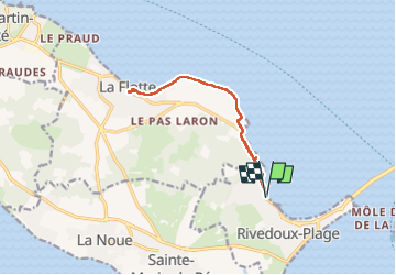

Lengte
11,6 km

Max. hoogte
11 m

Positief hoogteverschil
55 m
Km-Effort
12,3 km

Min. hoogte
-1 m

Negatief hoogteverschil
55 m
Boucle
Ja
Datum van aanmaak :
2022-04-21 07:34:50.0
Laatste wijziging :
2022-04-21 11:07:29.66
2h51
Moeilijkheid : Moeilijk

Gratisgps-wandelapplicatie
 SityTrail
IGN / Geografische instituten
SityTrail Plus
De wereld gaat voor u open
Over ons
Tocht Stappen van 11,6 km beschikbaar op Nieuw-Aquitanië, Charente-Maritime, Rivedoux-Plage. Deze tocht wordt voorgesteld door richardsimopons.
Beschrijving
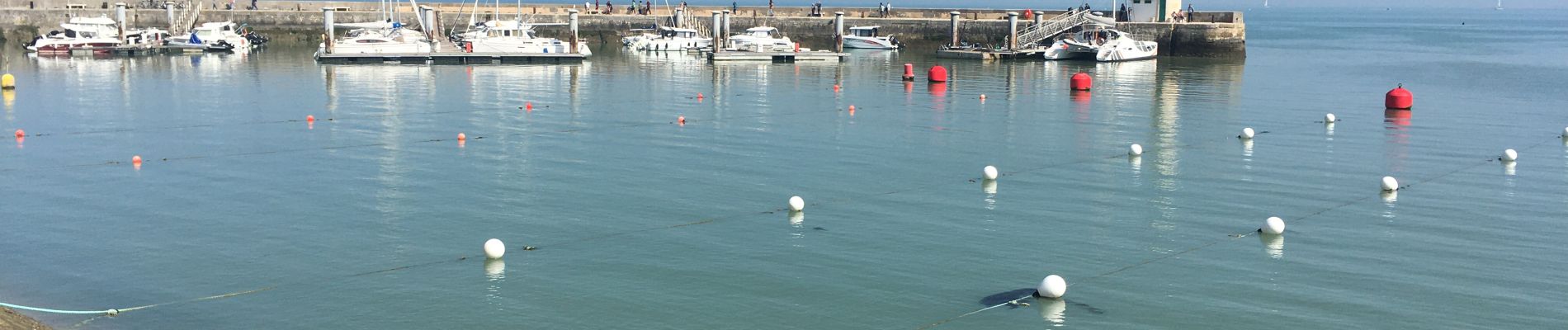
De Rivedoux à La Flotte en passant par La Pree et sentier côtier
Foto's


Plaatsbepaling
Land:
France
Regio :
Nieuw-Aquitanië
Departement/Provincie :
Charente-Maritime
Gemeente :
Rivedoux-Plage
Locatie:
Unknown
Vertrek:(Dec)
Vertrek:(UTM)
632663 ; 5113781 (30T) N.
Opmerkingen