


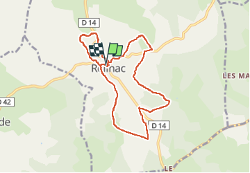


17,4 km | 20 km-effort

Gebruiker


Gratisgps-wandelapplicatie
 SityTrail
IGN / Geografische instituten
SityTrail World
De wereld gaat voor u open
Tocht Stappen van 9 km beschikbaar op Occitanië, Lot, Reilhac. Deze tocht wordt voorgesteld door Gegetop.
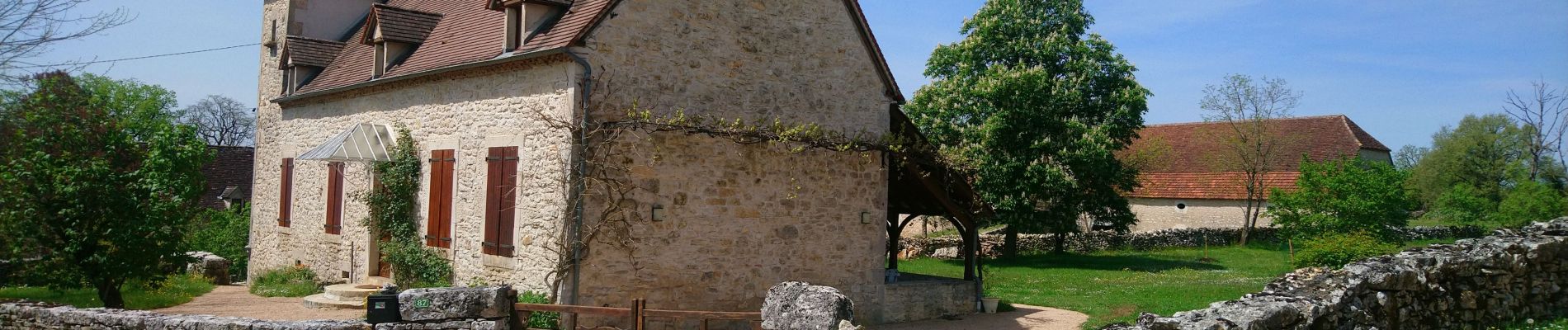
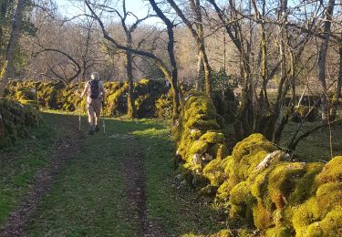
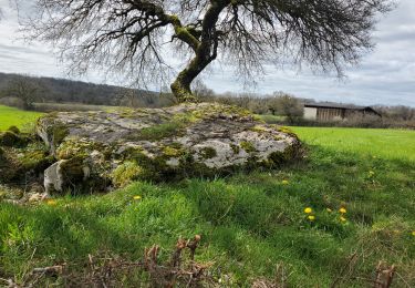
Petite boucle à faire en famille pour admirer les habitations et les murs de pierres sèches


Andere activiteiten
Stappen
Stappen

Wegfiets
Wegfiets
Wegfiets

Huifkarwandeling

Stappen
Mountainbike