


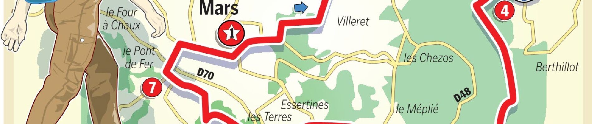
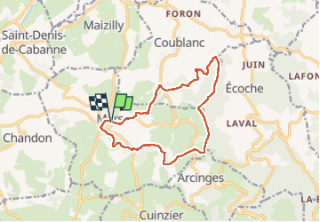
Mars : circuit des planètes

Jgar
Gebruiker


4h04
Moeilijkheid : Moeilijk

Gratisgps-wandelapplicatie
 SityTrail
IGN / Geografische instituten
SityTrail Plus
De wereld gaat voor u open
Over ons
Tocht Stappen van 13,6 km beschikbaar op Auvergne-Rhône-Alpes, Loire, Mars. Deze tocht wordt voorgesteld door Jgar.
Beschrijving
Cette boucle se confond avec la PR 16, balisée en jaune sur fond bleu. Après le bourg et les bocages des collines verdoyantes du bassin de la Loire, la randonnée monte dans les forêts, aux confins de la Bourgogne. Le regard se porte alors jusqu'aux limites de l'Auvergne.
Foto's


Plaatsbepaling
Opmerkingen