


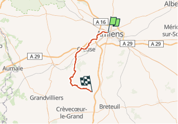
Gouy par la Maison Blanche et Velennes

ORTAX
Gebruiker

Lengte
45 km

Max. hoogte
190 m

Positief hoogteverschil
678 m
Km-Effort
54 km

Min. hoogte
20 m

Negatief hoogteverschil
585 m
Boucle
Neen
Datum van aanmaak :
2022-05-15 07:36:20.0
Laatste wijziging :
2022-05-15 10:18:04.588
2h41
Moeilijkheid : Medium

Gratisgps-wandelapplicatie
 SityTrail
IGN / Geografische instituten
SityTrail Plus
De wereld gaat voor u open
Over ons
Tocht Mountainbike van 45 km beschikbaar op Hauts-de-France, Somme, Amiens. Deze tocht wordt voorgesteld door ORTAX.
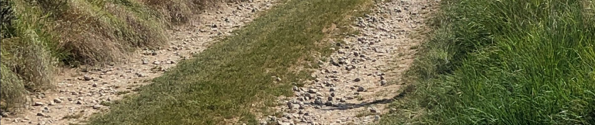
Foto's


Plaatsbepaling
Land:
France
Regio :
Hauts-de-France
Departement/Provincie :
Somme
Gemeente :
Amiens
Locatie:
Unknown
Vertrek:(Dec)
Vertrek:(UTM)
448557 ; 5527348 (31U) N.
Opmerkingen