


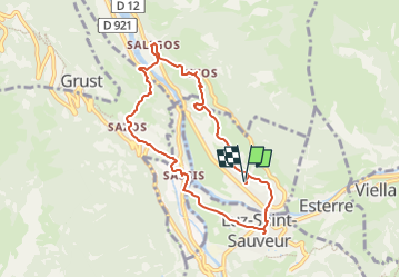


9,1 km | 18,9 km-effort


Gebruiker GUIDE


Gratisgps-wandelapplicatie
 SityTrail
IGN / Geografische instituten
SityTrail World
De wereld gaat voor u open
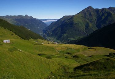
Tocht Te voet van 8,4 km beschikbaar op Occitanië, Hautes-Pyrénées, Esquièze-Sère. Deze tocht wordt voorgesteld door marmotte65.

Stappen

Stappen
Stappen

Te voet

Stappen

Stappen
Te voet
Te voet
Stappen