


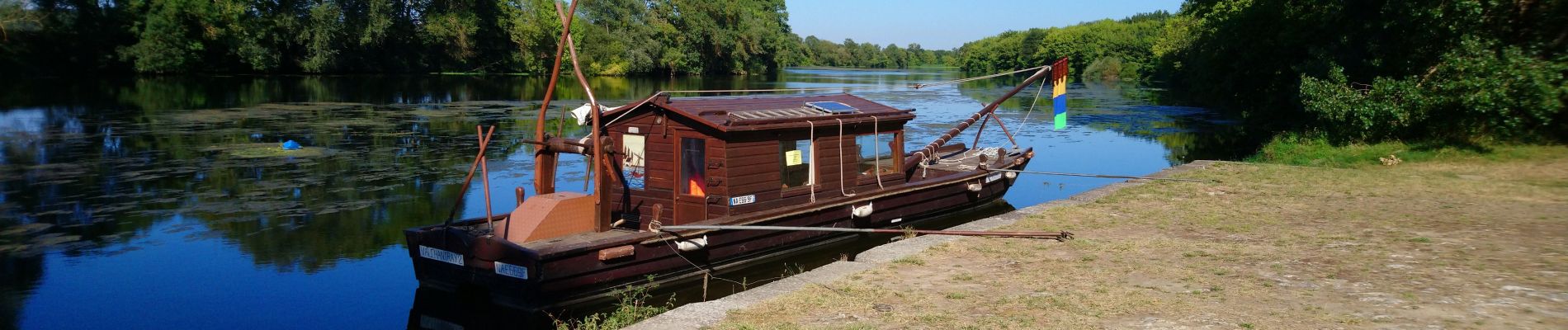
Athée-sur-Cher - Port Chandon - 18km 140m 4h05 - 2022 07 24

Orcal37
Gebruiker GUIDE
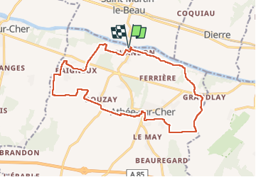

Lengte
18 km

Max. hoogte
98 m

Positief hoogteverschil
140 m
Km-Effort
19,8 km

Min. hoogte
50 m

Negatief hoogteverschil
141 m
Boucle
Ja
Datum van aanmaak :
2022-07-24 12:05:47.137
Laatste wijziging :
2022-09-08 17:32:45.76
4h05
Moeilijkheid : Gemakkelijk

Gratisgps-wandelapplicatie
 SityTrail
IGN / Geografische instituten
SityTrail Plus
De wereld gaat voor u open
Over ons
Tocht Stappen van 18 km beschikbaar op Centre-Val de Loire, Indre-et-Loire, Athée-sur-Cher. Deze tocht wordt voorgesteld door Orcal37.
Beschrijving
Athée-sur-Cher - Port Chandon - 18km 140m 4h05 - 2022 07 24
Foto's


Plaatsbepaling
Land:
France
Regio :
Centre-Val de Loire
Departement/Provincie :
Indre-et-Loire
Gemeente :
Athée-sur-Cher
Locatie:
Unknown
Vertrek:(Dec)
Vertrek:(UTM)
342056 ; 5245273 (31T) N.
Opmerkingen