


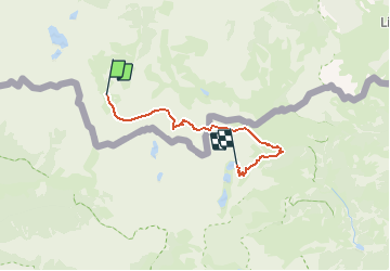

13,3 km | 20 km-effort


Gebruiker


Gratisgps-wandelapplicatie
 SityTrail
IGN / Geografische instituten
SityTrail World
De wereld gaat voor u open
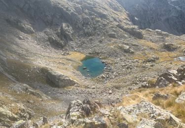
Tocht Lopen van 16,7 km beschikbaar op Piëmont, Cuneo, Entracque. Deze tocht wordt voorgesteld door pradines001.
Par Refuge Pagari et col de l'Agnel

Stappen
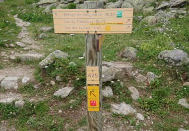
Stappen
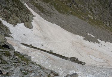
Te voet
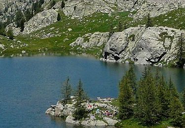
Te voet
Te voet

Stappen

Andere activiteiten
Stappen
Stappen