


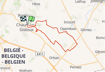

8,6 km | 10,3 km-effort


Gebruiker


Gratisgps-wandelapplicatie
 SityTrail
IGN / Geografische instituten
SityTrail World
De wereld gaat voor u open
Tocht Elektrische fiets van 26 km beschikbaar op Wallonië, Waals-Brabant, Chaumont-Gistoux. Deze tocht wordt voorgesteld door Mohican.
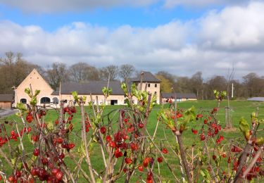
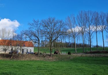
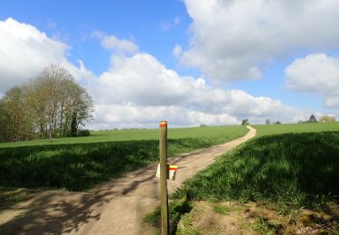
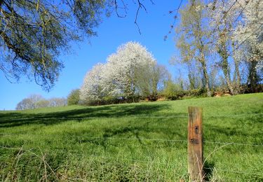
Très belle promenade. Au miliei des champs, d'un village à l'autre. Quelques très belles fermes.
Peu de voitures croisées sauf tout au début.
ARE

Stappen
Stappen
Stappen
Stappen

Stappen
Stappen
Stappen
Te voet
Noords wandelen