


Les Collons

cmike39
Gebruiker

Lengte
12,1 km

Max. hoogte
2191 m

Positief hoogteverschil
499 m
Km-Effort
18,8 km

Min. hoogte
1784 m

Negatief hoogteverschil
493 m
Boucle
Ja
Datum van aanmaak :
2014-12-10 00:00:00.0
Laatste wijziging :
2014-12-10 00:00:00.0
4h09
Moeilijkheid : Medium

Gratisgps-wandelapplicatie
 SityTrail
IGN / Geografische instituten
SityTrail Plus
De wereld gaat voor u open
Over ons
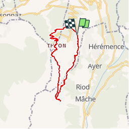
Tocht Stappen van 12,1 km beschikbaar op Valais/Wallis, Hérens, Vex. Deze tocht wordt voorgesteld door cmike39.
Beschrijving
Les Collons, Thyon, La Trabanta,
Termeno Ro, pied du Mont Cauille.
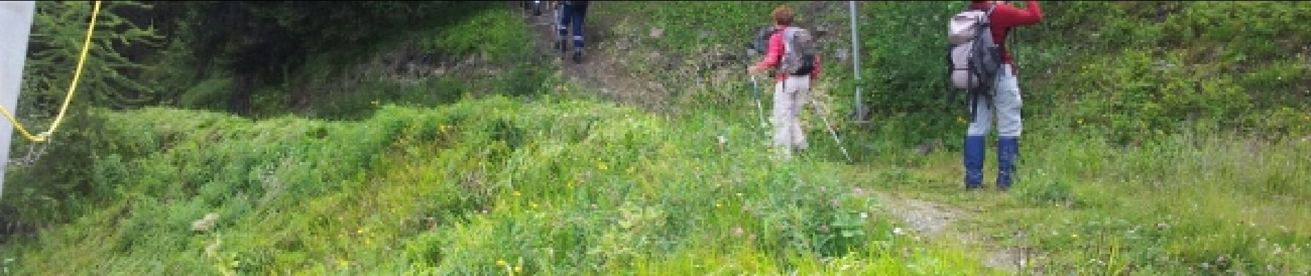
Foto's


Plaatsbepaling
Land:
Switzerland
Regio :
Valais/Wallis
Departement/Provincie :
Hérens
Gemeente :
Vex
Locatie:
Unknown
Vertrek:(Dec)
Vertrek:(UTM)
375433 ; 5115988 (32T) N.
Opmerkingen