


Beaumont-la-Ronce - PR 2 balisage bleu - 17.8km 190m 4h00 - 2022 09 16

Orcal37
Gebruiker GUIDE
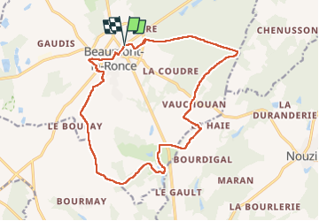

Lengte
17,8 km

Max. hoogte
160 m

Positief hoogteverschil
187 m
Km-Effort
20 km

Min. hoogte
93 m

Negatief hoogteverschil
186 m
Boucle
Ja
Datum van aanmaak :
2022-09-16 12:26:24.39
Laatste wijziging :
2022-09-16 18:56:06.341
4h00
Moeilijkheid : Medium

Gratisgps-wandelapplicatie
 SityTrail
IGN / Geografische instituten
SityTrail Plus
De wereld gaat voor u open
Over ons
Tocht Stappen van 17,8 km beschikbaar op Centre-Val de Loire, Indre-et-Loire, Beaumont-Louestault. Deze tocht wordt voorgesteld door Orcal37.
Beschrijving
Beaumont-la-Ronce - PR 2 balisage bleu - 17.8km 190m 4h00 - 2022 09 16
Foto's


Plaatsbepaling
Land:
France
Regio :
Centre-Val de Loire
Departement/Provincie :
Indre-et-Loire
Gemeente :
Beaumont-Louestault
Locatie:
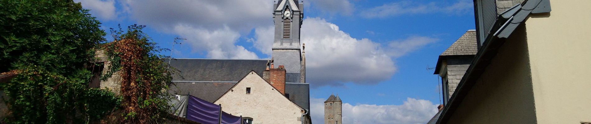
Beaumont-la-Ronce
Vertrek:(Dec)
Vertrek:(UTM)
325042 ; 5271380 (31T) N.
Opmerkingen