


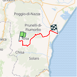
Ma Mare a Mare Centre étape 5: Catastaghju vers Prunneli plage ou Calzarelu

Vadim
Gebruiker


8h07
Moeilijkheid : Zeer moeilijk

Gratisgps-wandelapplicatie
 SityTrail
IGN / Geografische instituten
SityTrail Plus
De wereld gaat voor u open
Over ons
Tocht Stappen van 30 km beschikbaar op Corsica, Haute-Corse, San-Gavino-di-Fiumorbo. Deze tocht wordt voorgesteld door Vadim.
Beschrijving
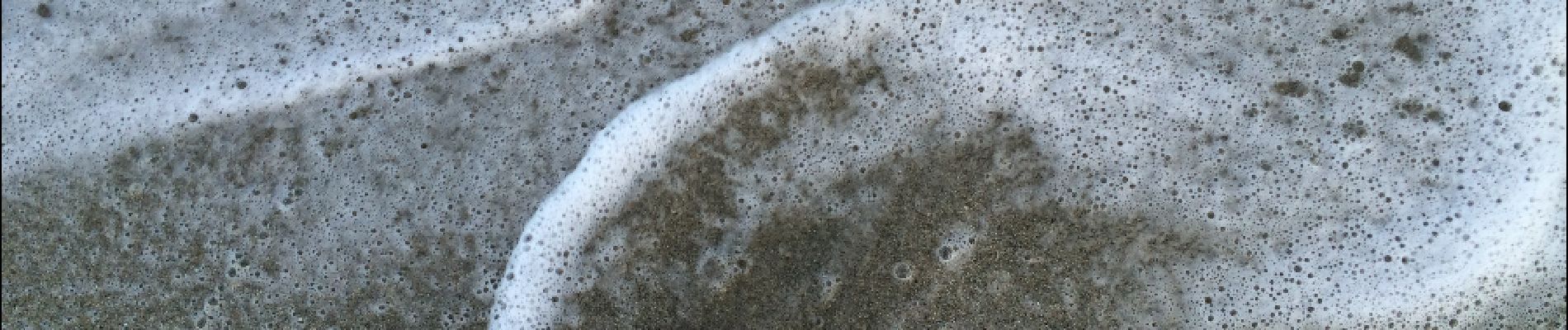
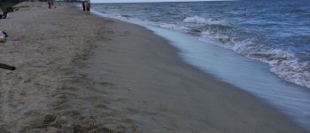
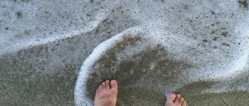
Très belle étapape qui compte double. Je suis partie de Catastaghju à 7h10 et je ne me suis pas arrêté à Serra di Fiumorbo comme indiqué sur les guides. J’ai continué vers Ghisonaccia et bifurqué un peu avant, direction la plage. Comme ça ma Mare a Mare a un sens de la mer occidentale à l’ouest) vers la mer orientale à l'est. Plus de 30 km en montagne aujourd’hui, je suis content...
Foto's


88 fotos in totaal. Klik op een foto om ze allemaal in de galerij weer te geven.
Plaatsbepaling
Opmerkingen