


Chançay - la Galinière - 10.3km 100m 2h00 - 2006 12 10

Orcal37
Gebruiker GUIDE


Lengte
10,2 km

Max. hoogte
117 m

Positief hoogteverschil
99 m
Km-Effort
11,5 km

Min. hoogte
56 m

Negatief hoogteverschil
100 m
Boucle
Ja
Datum van aanmaak :
2022-09-25 17:08:00.231
Laatste wijziging :
2022-09-26 15:49:46.052
2h00
Moeilijkheid : Gemakkelijk

Gratisgps-wandelapplicatie
 SityTrail
IGN / Geografische instituten
SityTrail Plus
De wereld gaat voor u open
Over ons
Tocht Stappen van 10,2 km beschikbaar op Centre-Val de Loire, Indre-et-Loire, Chançay. Deze tocht wordt voorgesteld door Orcal37.
Beschrijving
Chançay - la Galinière - 10.3km 100m 2h00 - 2006 12 10.
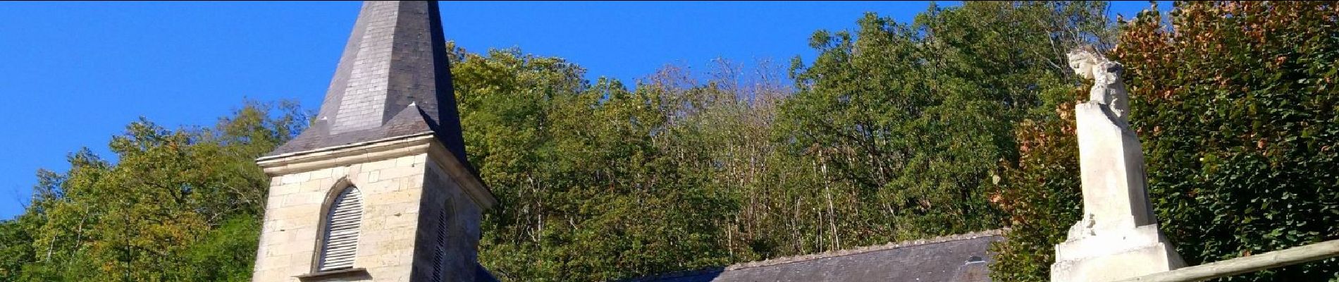
Photo église Chançay.
Foto's

Plaatsbepaling
Land:
France
Regio :
Centre-Val de Loire
Departement/Provincie :
Indre-et-Loire
Gemeente :
Chançay
Locatie:
Unknown
Vertrek:(Dec)
Vertrek:(UTM)
339875 ; 5257240 (31T) N.
Opmerkingen