


octobre rose 2022

jeepee93
Gebruiker
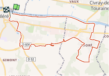

Lengte
13 km

Max. hoogte
103 m

Positief hoogteverschil
126 m
Km-Effort
14,7 km

Min. hoogte
51 m

Negatief hoogteverschil
123 m
Boucle
Ja
Datum van aanmaak :
2022-10-09 07:12:55.315
Laatste wijziging :
2022-10-09 09:45:13.695
2h31
Moeilijkheid : Heel gemakkelijk

Gratisgps-wandelapplicatie
 SityTrail
IGN / Geografische instituten
SityTrail Plus
De wereld gaat voor u open
Over ons
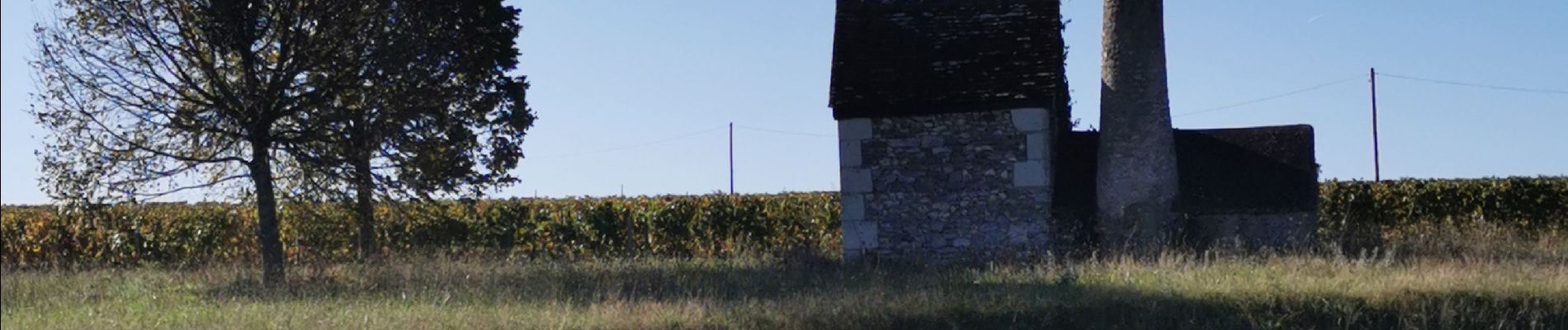
Tocht Stappen van 13 km beschikbaar op Centre-Val de Loire, Indre-et-Loire, Bléré. Deze tocht wordt voorgesteld door jeepee93.
Foto's


Plaatsbepaling
Land:
France
Regio :
Centre-Val de Loire
Departement/Provincie :
Indre-et-Loire
Gemeente :
Bléré
Locatie:
Unknown
Vertrek:(Dec)
Vertrek:(UTM)
348667 ; 5243655 (31T) N.
Opmerkingen