


aubure

duchaine.nicolas
Gebruiker
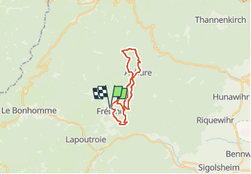

Lengte
18,9 km

Max. hoogte
966 m

Positief hoogteverschil
711 m
Km-Effort
28 km

Min. hoogte
448 m

Negatief hoogteverschil
711 m
Boucle
Ja
Datum van aanmaak :
2022-10-23 09:15:19.043
Laatste wijziging :
2022-10-23 11:20:19.634
2h04
Moeilijkheid : Gemakkelijk
2h04
Moeilijkheid : Gemakkelijk

Gratisgps-wandelapplicatie
 SityTrail
IGN / Geografische instituten
SityTrail Plus
De wereld gaat voor u open
Over ons
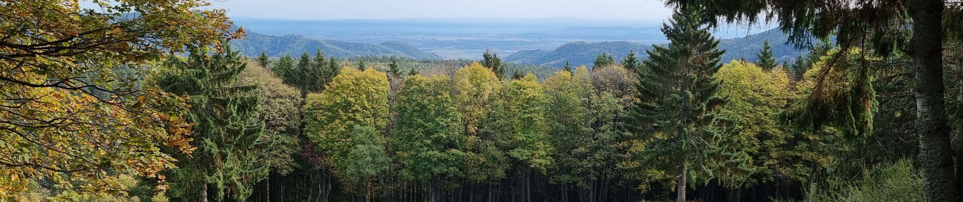
Tocht Mountainbike van 18,9 km beschikbaar op Grand Est, Haut-Rhin, Fréland. Deze tocht wordt voorgesteld door duchaine.nicolas.
Foto's

Plaatsbepaling
Land:
France
Regio :
Grand Est
Departement/Provincie :
Haut-Rhin
Gemeente :
Fréland
Locatie:
Unknown
Vertrek:(Dec)
Vertrek:(UTM)
365791 ; 5337181 (32U) N.
Opmerkingen