


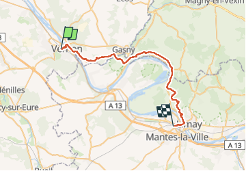


9,2 km | 11,5 km-effort


Gebruiker


Gratisgps-wandelapplicatie
 SityTrail
IGN / Geografische instituten
SityTrail World
De wereld gaat voor u open
Tocht Stappen van 37 km beschikbaar op Normandië, Eure, Vernon. Deze tocht wordt voorgesteld door chessyca.
Rando féérique à l'automne
Attention un peu sportif !


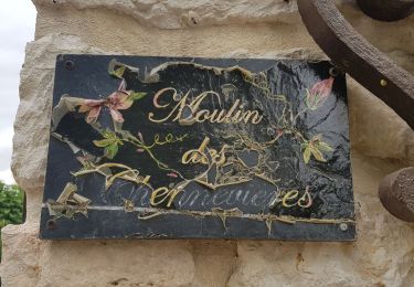
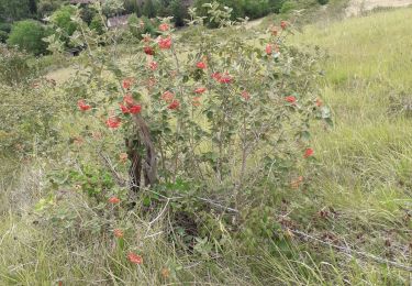
21 fotos in totaal. Klik op een foto om ze allemaal in de galerij weer te geven.

Stappen

Stappen
Stappen
Stappen

Motor

Motor

Motor

Mountainbike

Stappen