


UZÈS 31 12 2022

harydh
Gebruiker GUIDE
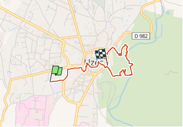

Lengte
3,6 km

Max. hoogte
143 m

Positief hoogteverschil
84 m
Km-Effort
4,7 km

Min. hoogte
76 m

Negatief hoogteverschil
72 m
Boucle
Neen
Datum van aanmaak :
2022-12-31 09:47:59.53
Laatste wijziging :
2023-01-01 11:53:00.288
1h27
Moeilijkheid : Gemakkelijk

Gratisgps-wandelapplicatie
 SityTrail
IGN / Geografische instituten
SityTrail Plus
De wereld gaat voor u open
Over ons
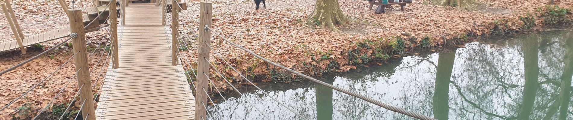
Tocht Stappen van 3,6 km beschikbaar op Occitanië, Gard, Uzès. Deze tocht wordt voorgesteld door harydh.
Foto's


Plaatsbepaling
Land:
France
Regio :
Occitanië
Departement/Provincie :
Gard
Gemeente :
Uzès
Locatie:
Unknown
Vertrek:(Dec)
Vertrek:(UTM)
613211 ; 4873921 (31T) N.
Opmerkingen