


remisch

bohynm
Gebruiker

Lengte
9,7 km

Max. hoogte
259 m

Positief hoogteverschil
177 m
Km-Effort
12,1 km

Min. hoogte
139 m

Negatief hoogteverschil
180 m
Boucle
Ja
Datum van aanmaak :
2014-12-10 00:00:00.0
Laatste wijziging :
2014-12-10 00:00:00.0
2h23
Moeilijkheid : Gemakkelijk

Gratisgps-wandelapplicatie
 SityTrail
IGN / Geografische instituten
SityTrail Plus
De wereld gaat voor u open
Over ons
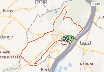
Tocht Stappen van 9,7 km beschikbaar op Onbekend, Canton Remich, Remich. Deze tocht wordt voorgesteld door bohynm.
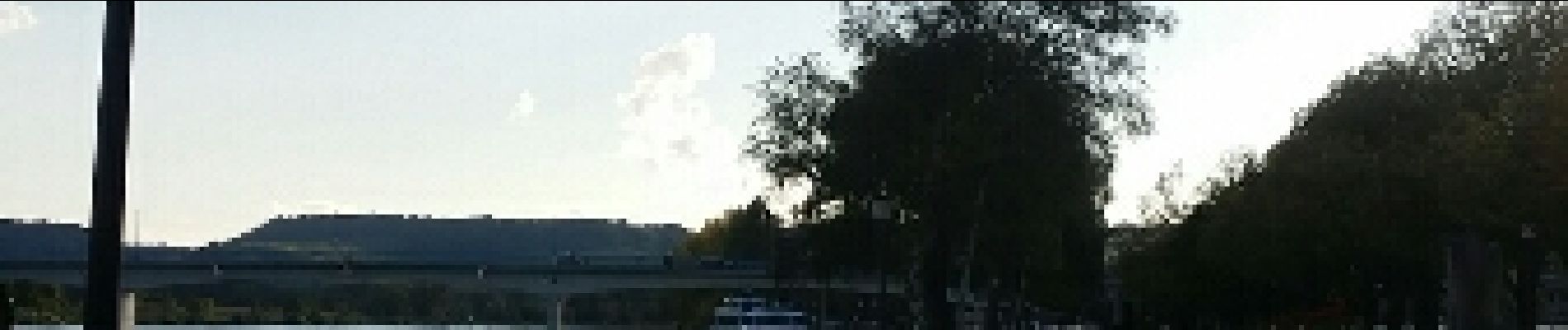
Foto's


Plaatsbepaling
Land:
Luxembourg
Regio :
Onbekend
Departement/Provincie :
Canton Remich
Gemeente :
Remich
Locatie:
Unknown
Vertrek:(Dec)
Vertrek:(UTM)
309486 ; 5491094 (32U) N.
Opmerkingen
un guide très intéressant...