


ND des Anges-Pignans-17-03-23

Christiancordin
Gebruiker
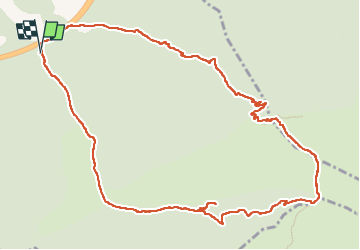

Lengte
13,7 km

Max. hoogte
777 m

Positief hoogteverschil
602 m
Km-Effort
22 km

Min. hoogte
200 m

Negatief hoogteverschil
602 m
Boucle
Ja
Datum van aanmaak :
2023-03-17 07:47:30.371
Laatste wijziging :
2023-03-23 17:09:11.909
3h41
Moeilijkheid : Medium

Gratisgps-wandelapplicatie
 SityTrail
IGN / Geografische instituten
SityTrail Plus
De wereld gaat voor u open
Over ons
Tocht Stappen van 13,7 km beschikbaar op Provence-Alpes-Côte d'Azur, Var, Pignans. Deze tocht wordt voorgesteld door Christiancordin.
Beschrijving
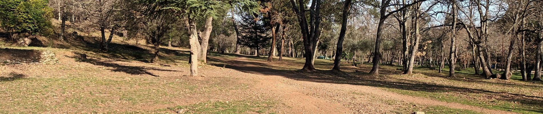
Pk-ruisseau du vallon de Collobrières-piste de Signoret-GR 90-ND des Anges-GR 9-les oratoires-vallon de ND des Anges.
Foto's


Plaatsbepaling
Land:
France
Regio :
Provence-Alpes-Côte d'Azur
Departement/Provincie :
Var
Gemeente :
Pignans
Locatie:
Unknown
Vertrek:(Dec)
Vertrek:(UTM)
277237 ; 4796629 (32T) N.
Opmerkingen
super randonnée Merci Christian