


19,2 km | 30 km-effort

Gebruiker


Gratisgps-wandelapplicatie
 SityTrail
IGN / Geografische instituten
SityTrail World
De wereld gaat voor u open
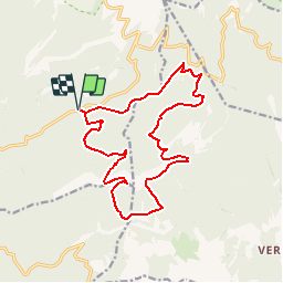
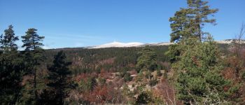
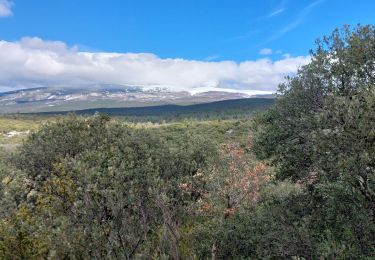
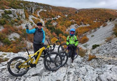
Tocht Stappen van 17,4 km beschikbaar op Provence-Alpes-Côte d'Azur, Vaucluse, Bédoin. Deze tocht wordt voorgesteld door Drailloun.
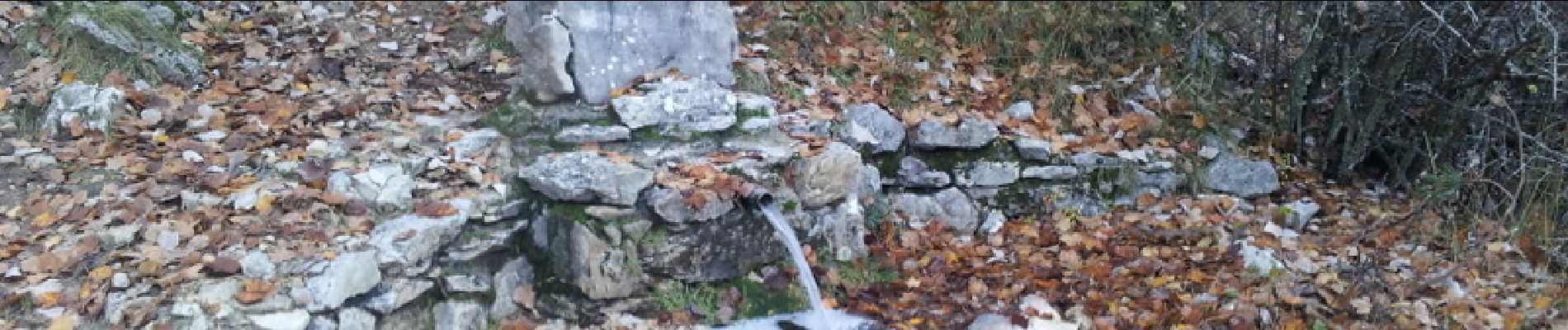
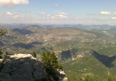
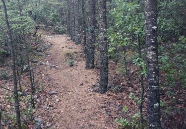
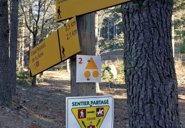
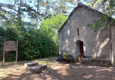
Départ du Jas des Mélettes sur la route du Chalet Reynard - La Font d'Angiou - Combe Brune que l'on quitte au point 1233 - Combe sans nom - Point 1330 - Descente vers Pavillon du Rat - Emprunt d'un chemin forestier qui conduit... Nulle Part - On Traverse la forêt à vue (suivre trace GPS) pour rejoindre la piste des Tournières - Combe de Clare - Les Granges Rouges - Redescente vers la Combe de La Clare (on peut faire une variante par la chapelle St Jean) - Combe de la Font D'angiou - On remonte vers la forêt de Perrache (remontée assez raide au début) - On rejoint le parking. Randonnée très variée entre pistes, combes et sentiers- Avec les couleurs d'automne, c'est véritablement superbe. (faite le 20-11-14)


Stappen
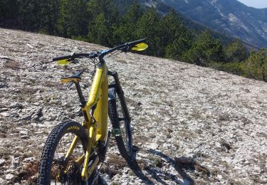
Mountainbike
Stappen
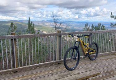
Mountainbike
Stappen
Stappen
Mountainbike
Stappen
Mountainbike