


thibessart

dragonchef
Gebruiker
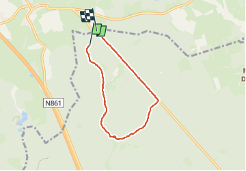

Lengte
5,1 km

Max. hoogte
477 m

Positief hoogteverschil
73 m
Km-Effort
6 km

Min. hoogte
423 m

Negatief hoogteverschil
76 m
Boucle
Neen
Datum van aanmaak :
2023-05-22 14:44:53.227
Laatste wijziging :
2023-05-22 16:12:47.845
1h27
Moeilijkheid : Gemakkelijk

Gratisgps-wandelapplicatie
 SityTrail
IGN / Geografische instituten
SityTrail Plus
De wereld gaat voor u open
Over ons
Tocht Stappen van 5,1 km beschikbaar op Wallonië, Luxemburg, Habay. Deze tocht wordt voorgesteld door dragonchef.
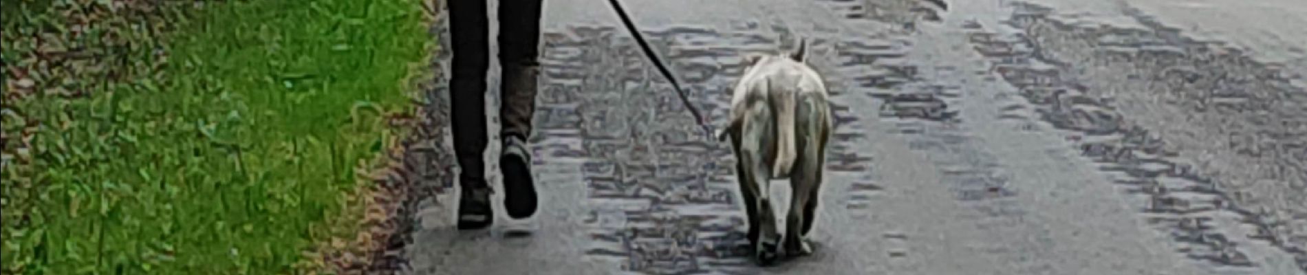
Foto's


Plaatsbepaling
Land:
Belgium
Regio :
Wallonië
Departement/Provincie :
Luxemburg
Gemeente :
Habay
Locatie:
Rulles
Vertrek:(Dec)
Vertrek:(UTM)
684986 ; 5516548 (31U) N.
Opmerkingen