


live Golinhac - Conques

djeepee74
Gebruiker


Lengte
21 km

Max. hoogte
675 m

Positief hoogteverschil
419 m
Km-Effort
28 km

Min. hoogte
290 m

Negatief hoogteverschil
797 m
Boucle
Neen
Datum van aanmaak :
2023-06-06 06:22:31.83
Laatste wijziging :
2023-06-09 15:25:00.61
6h25
Moeilijkheid : Moeilijk

Gratisgps-wandelapplicatie
 SityTrail
IGN / Geografische instituten
SityTrail Plus
De wereld gaat voor u open
Over ons
Tocht Stappen van 21 km beschikbaar op Occitanië, Aveyron, Golinhac. Deze tocht wordt voorgesteld door djeepee74.
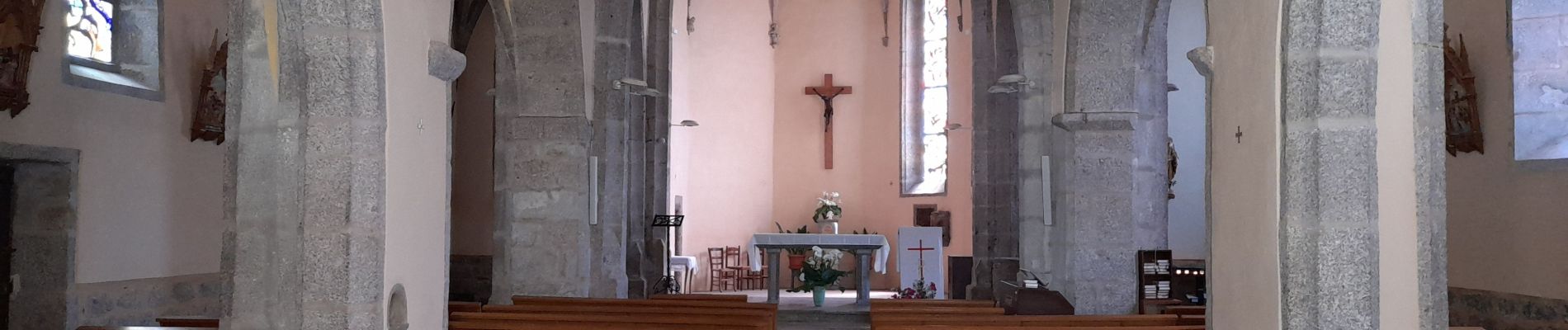
Foto's


23 fotos in totaal. Klik op een foto om ze allemaal in de galerij weer te geven.
Plaatsbepaling
Land:
France
Regio :
Occitanië
Departement/Provincie :
Aveyron
Gemeente :
Golinhac
Locatie:
Unknown
Vertrek:(Dec)
Vertrek:(UTM)
466577 ; 4939040 (31T) N.
Opmerkingen