


RA 2023 Les Polders

dfluzin
Gebruiker

Lengte
18,1 km

Max. hoogte
82 m

Positief hoogteverschil
190 m
Km-Effort
21 km

Min. hoogte
3 m

Negatief hoogteverschil
194 m
Boucle
Neen
Datum van aanmaak :
2023-06-17 06:50:12.406
Laatste wijziging :
2023-06-17 15:33:09.229
5h25
Moeilijkheid : Zeer moeilijk

Gratisgps-wandelapplicatie
 SityTrail
IGN / Geografische instituten
SityTrail Plus
De wereld gaat voor u open
Over ons
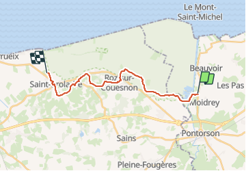
Tocht Stappen van 18,1 km beschikbaar op Normandië, Manche, Pontorson. Deze tocht wordt voorgesteld door dfluzin.
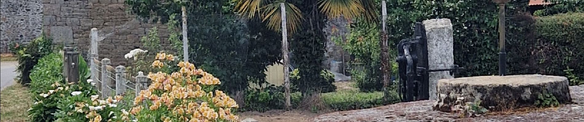
Foto's


Plaatsbepaling
Land:
France
Regio :
Normandië
Departement/Provincie :
Manche
Gemeente :
Pontorson
Locatie:
Pontorson
Vertrek:(Dec)
Vertrek:(UTM)
609691 ; 5381968 (30U) N.
Opmerkingen