


49 TraceGps issued

houbart
Gebruiker


Lengte
14,2 km

Max. hoogte
629 m

Positief hoogteverschil
226 m
Km-Effort
17,2 km

Min. hoogte
553 m

Negatief hoogteverschil
222 m
Boucle
Ja
Datum van aanmaak :
2023-06-22 08:47:05.212
Laatste wijziging :
2023-06-28 14:06:52.708
3h53
Moeilijkheid : Moeilijk

Gratisgps-wandelapplicatie
 SityTrail
IGN / Geografische instituten
SityTrail Plus
De wereld gaat voor u open
Over ons
Tocht Stappen van 14,2 km beschikbaar op Nieuw-Aquitanië, Corrèze, Clergoux. Deze tocht wordt voorgesteld door houbart.
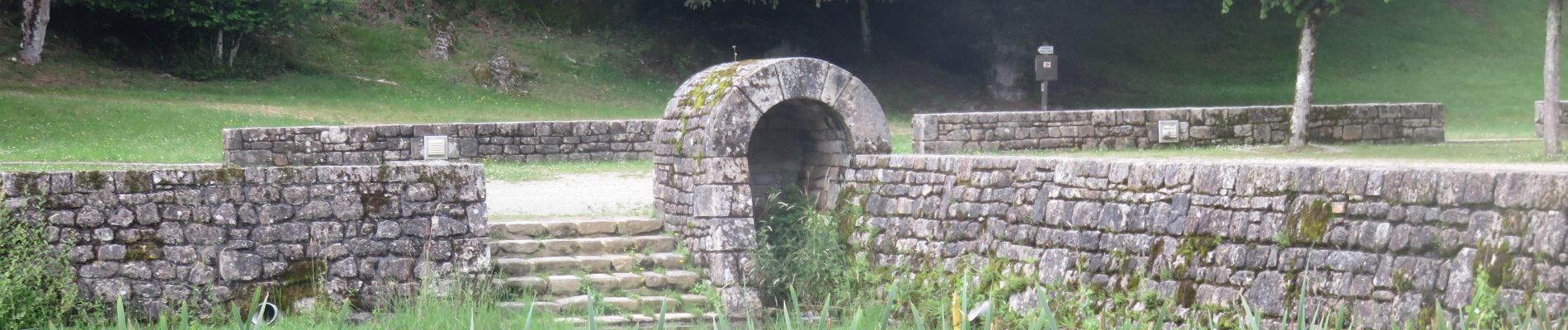
Foto's


Plaatsbepaling
Land:
France
Regio :
Nieuw-Aquitanië
Departement/Provincie :
Corrèze
Gemeente :
Clergoux
Locatie:
Unknown
Vertrek:(Dec)
Vertrek:(UTM)
417779 ; 5016049 (31T) N.
Opmerkingen