


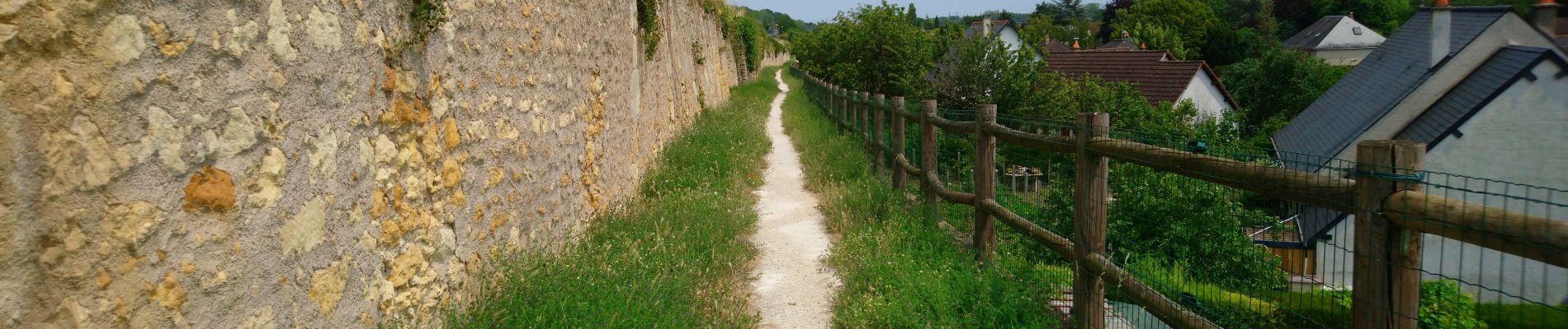
Vouvray - PR balisé en bleu - 15.1km 125m 3h30 - 2023 06 28

Orcal37
Gebruiker GUIDE

Lengte
15,1 km

Max. hoogte
117 m

Positief hoogteverschil
129 m
Km-Effort
16,8 km

Min. hoogte
48 m

Negatief hoogteverschil
126 m
Boucle
Ja
Datum van aanmaak :
2023-06-28 12:31:04.568
Laatste wijziging :
2023-06-30 17:30:49.293
3h30
Moeilijkheid : Gemakkelijk

Gratisgps-wandelapplicatie
 SityTrail
IGN / Geografische instituten
SityTrail Plus
De wereld gaat voor u open
Over ons
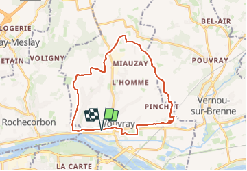
Tocht Stappen van 15,1 km beschikbaar op Centre-Val de Loire, Indre-et-Loire, Vouvray. Deze tocht wordt voorgesteld door Orcal37.
Beschrijving
Vouvray - PR balisé en bleu - 15.1km 125m 3h30 - 2023 06 28
Foto's


Plaatsbepaling
Land:
France
Regio :
Centre-Val de Loire
Departement/Provincie :
Indre-et-Loire
Gemeente :
Vouvray
Locatie:
Unknown
Vertrek:(Dec)
Vertrek:(UTM)
333399 ; 5253238 (31T) N.
Opmerkingen