


Chandolas Boubouillet 16km

chancha
Gebruiker GUIDE
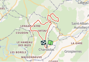

Lengte
15,6 km

Max. hoogte
209 m

Positief hoogteverschil
257 m
Km-Effort
19,1 km

Min. hoogte
128 m

Negatief hoogteverschil
257 m
Boucle
Ja
Datum van aanmaak :
2023-07-13 18:32:30.584
Laatste wijziging :
2023-07-13 18:40:30.83
4h19
Moeilijkheid : Moeilijk

Gratisgps-wandelapplicatie
 SityTrail
IGN / Geografische instituten
SityTrail Plus
De wereld gaat voor u open
Over ons
Tocht Stappen van 15,6 km beschikbaar op Auvergne-Rhône-Alpes, Ardèche, Chandolas. Deze tocht wordt voorgesteld door chancha.
Foto's

Plaatsbepaling
Land:
France
Regio :
Auvergne-Rhône-Alpes
Departement/Provincie :
Ardèche
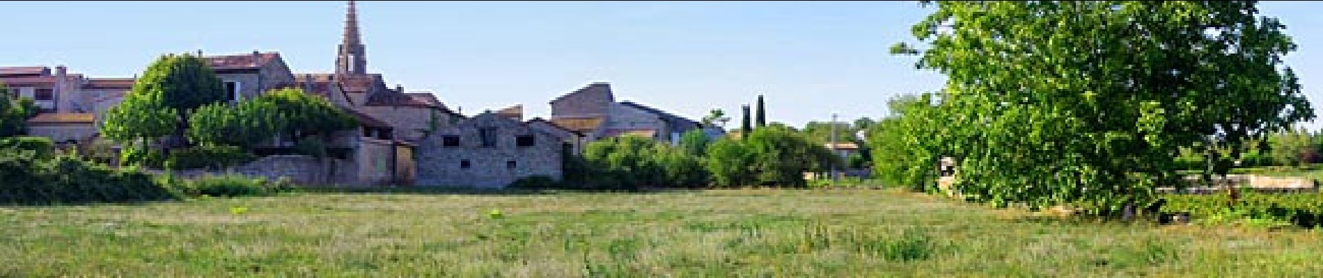
Gemeente :
Chandolas
Locatie:
Unknown
Vertrek:(Dec)
Vertrek:(UTM)
599815 ; 4917433 (31T) N.
Opmerkingen