


Tour de Belle Île.

dudu79
Gebruiker

Lengte
76 km

Max. hoogte
55 m

Positief hoogteverschil
1556 m
Km-Effort
97 km

Min. hoogte
0 m

Negatief hoogteverschil
1552 m
Boucle
Ja
Datum van aanmaak :
2023-07-17 06:28:26.002
Laatste wijziging :
2023-07-17 06:29:16.499
21h56
Moeilijkheid : Zeer moeilijk

Gratisgps-wandelapplicatie
 SityTrail
IGN / Geografische instituten
SityTrail Plus
De wereld gaat voor u open
Over ons
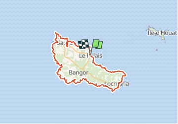
Tocht Stappen van 76 km beschikbaar op Bretagne, Morbihan, Le Palais. Deze tocht wordt voorgesteld door dudu79.
Plaatsbepaling
Land:
France
Regio :
Bretagne
Departement/Provincie :
Morbihan
Gemeente :
Le Palais
Locatie:
Unknown
Vertrek:(Dec)
Vertrek:(UTM)
488290 ; 5243752 (30T) N.
Opmerkingen