


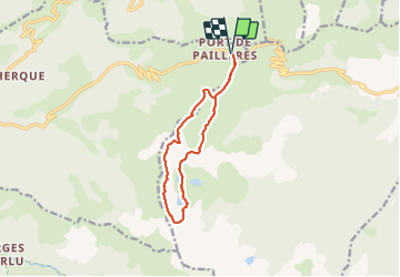

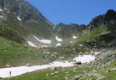
11,9 km | 24 km-effort

Gebruiker


Gratisgps-wandelapplicatie
 SityTrail
IGN / Geografische instituten
SityTrail World
De wereld gaat voor u open
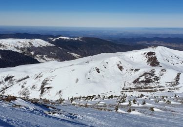
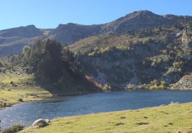
Tocht Stappen van 11,9 km beschikbaar op Occitanië, Ariège, Ascou. Deze tocht wordt voorgesteld door ericf64.
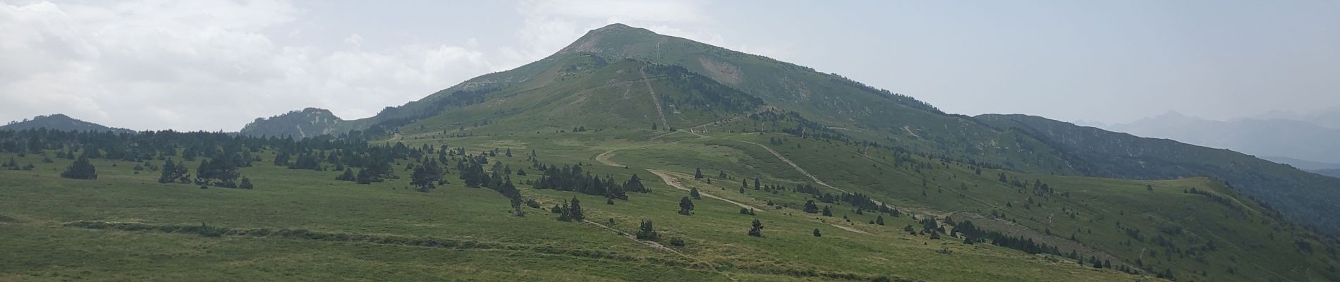
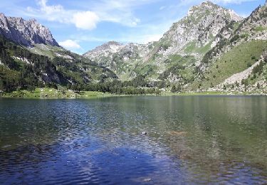
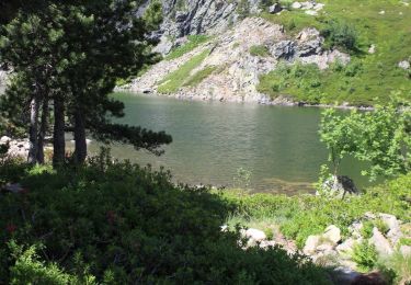
Très belle rando!.Montée au pic de tarbesou en 1h05. très belle vue à 360 degrés sur les Pyrénées et sur les étants en dessous. du pic aux Étants par les crêtes 1h40 retour par le col.

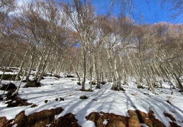
Stappen
Stappen
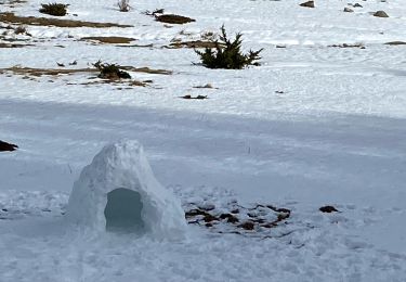
Sneeuwschoenen
Sneeuwschoenen
Stappen
Stappen
Stappen
Stappen
Stappen