


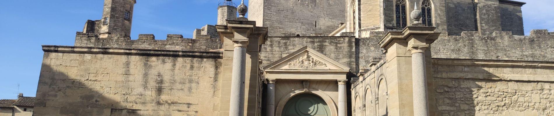
Uzès - source de l’Eure

rando30129
Gebruiker

Lengte
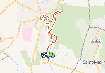
8,1 km

Max. hoogte
143 m

Positief hoogteverschil
109 m
Km-Effort
9,5 km

Min. hoogte
61 m

Negatief hoogteverschil
108 m
Boucle
Ja
Datum van aanmaak :
2023-07-25 06:17:38.341
Laatste wijziging :
2025-05-16 07:41:37.764
2h10
Moeilijkheid : Medium

Gratisgps-wandelapplicatie
 SityTrail
IGN / Geografische instituten
SityTrail Plus
De wereld gaat voor u open
Over ons
Tocht Stappen van 8,1 km beschikbaar op Occitanië, Gard, Uzès. Deze tocht wordt voorgesteld door rando30129.
Foto's


Plaatsbepaling
Land:
France
Regio :
Occitanië
Departement/Provincie :
Gard
Gemeente :
Uzès
Locatie:
Unknown
Vertrek:(Dec)
Vertrek:(UTM)
614010 ; 4872160 (31T) N.
Opmerkingen