


Maillé - PR Vallées et plateaux - 15.1km 135m 3h20 (35mn) - 2023 08 06

Orcal37
Gebruiker GUIDE


Lengte
15,2 km

Max. hoogte
101 m

Positief hoogteverschil
136 m
Km-Effort
17 km

Min. hoogte
47 m

Negatief hoogteverschil
136 m
Boucle
Ja
Datum van aanmaak :
2023-08-06 08:11:56.839
Laatste wijziging :
2025-07-18 15:54:41.161
3h20
Moeilijkheid : Heel gemakkelijk

Gratisgps-wandelapplicatie
 SityTrail
IGN / Geografische instituten
SityTrail Plus
De wereld gaat voor u open
Over ons
Tocht Stappen van 15,2 km beschikbaar op Centre-Val de Loire, Indre-et-Loire, Maillé. Deze tocht wordt voorgesteld door Orcal37.
Beschrijving
Maillé - PR Vallées et plateaux - 15.1km 135m 3h20 (35mn) - 2023 08 06
Foto's
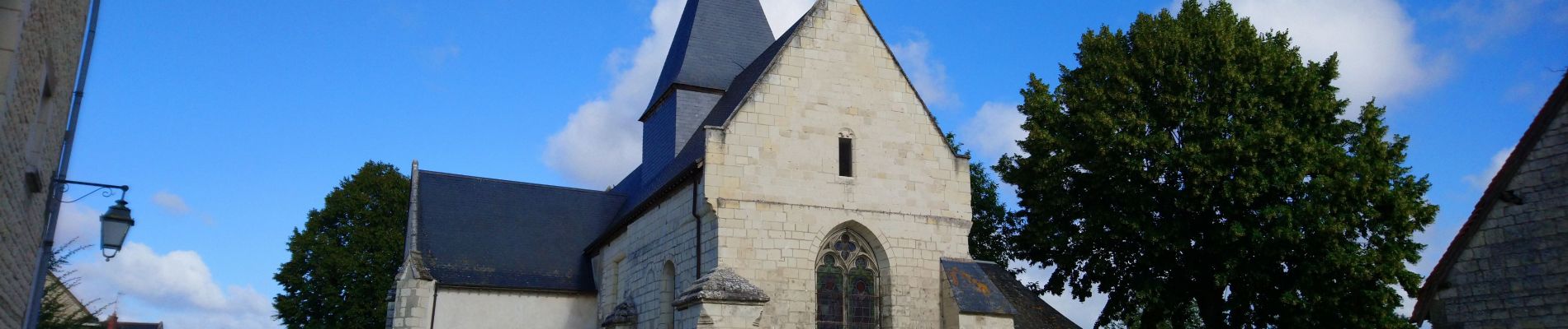
 - 2023 08 06 - Photo 1")
 - 2023 08 06 - Photo 2")
 - 2023 08 06 - Photo 3")
 - 2023 08 06 - Photo 4")
 - 2023 08 06 - Photo 5")
 - 2023 08 06 - Photo 6")
 - 2023 08 06 - Photo 7")
Plaatsbepaling
Land:
France
Regio :
Centre-Val de Loire
Departement/Provincie :
Indre-et-Loire
Gemeente :
Maillé
Locatie:
Unknown
Vertrek:(Dec)
Vertrek:(UTM)
316078 ; 5213568 (31T) N.
Opmerkingen