


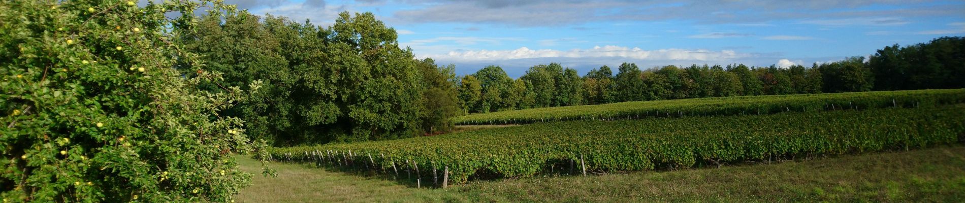
Chançay - Vaux et le Bois de Chançay - 8.7km 150m 2h05 - 2023 09 19

Orcal37
Gebruiker GUIDE
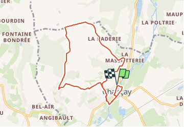

Lengte
8,7 km

Max. hoogte
112 m

Positief hoogteverschil
148 m
Km-Effort
10,7 km

Min. hoogte
56 m

Negatief hoogteverschil
149 m
Boucle
Ja
Datum van aanmaak :
2023-09-19 14:01:27.546
Laatste wijziging :
2023-09-23 14:46:16.138
2h05
Moeilijkheid : Gemakkelijk

Gratisgps-wandelapplicatie
 SityTrail
IGN / Geografische instituten
SityTrail Plus
De wereld gaat voor u open
Over ons
Tocht Stappen van 8,7 km beschikbaar op Centre-Val de Loire, Indre-et-Loire, Chançay. Deze tocht wordt voorgesteld door Orcal37.
Beschrijving
Chançay - Vaux et le Bois de Chançay - variante du PR - 8.7km 150m 2h05 - 2023 09 19
Foto's


Plaatsbepaling
Land:
France
Regio :
Centre-Val de Loire
Departement/Provincie :
Indre-et-Loire
Gemeente :
Chançay
Locatie:
Unknown
Vertrek:(Dec)
Vertrek:(UTM)
339738 ; 5257751 (31T) N.
Opmerkingen