


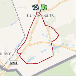


7,7 km | 9,5 km-effort

Randonnées au coeur d'une nature préservée GUIDE+


Gratisgps-wandelapplicatie
 SityTrail
IGN / Geografische instituten
SityTrail World
De wereld gaat voor u open
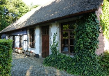
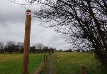
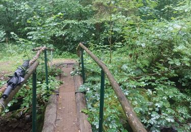
Tocht Stappen van 6,3 km beschikbaar op Wallonië, Namen, Couvin. Deze tocht wordt voorgesteld door La Forêt du Pays de Chimay.
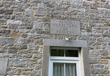
RND de la "Tourbière de Cul-des-Sarts"
Stappen
Te voet
Stappen

Noords wandelen
Stappen
Stappen
Stappen
Stappen