


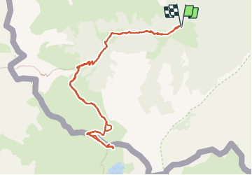

5,4 km | 7,4 km-effort

Gebruiker


Gratisgps-wandelapplicatie
 SityTrail
IGN / Geografische instituten
SityTrail World
De wereld gaat voor u open
Tocht Stappen van 12,3 km beschikbaar op Nieuw-Aquitanië, Pyrénées-Atlantiques, Lescun. Deze tocht wordt voorgesteld door bedous.
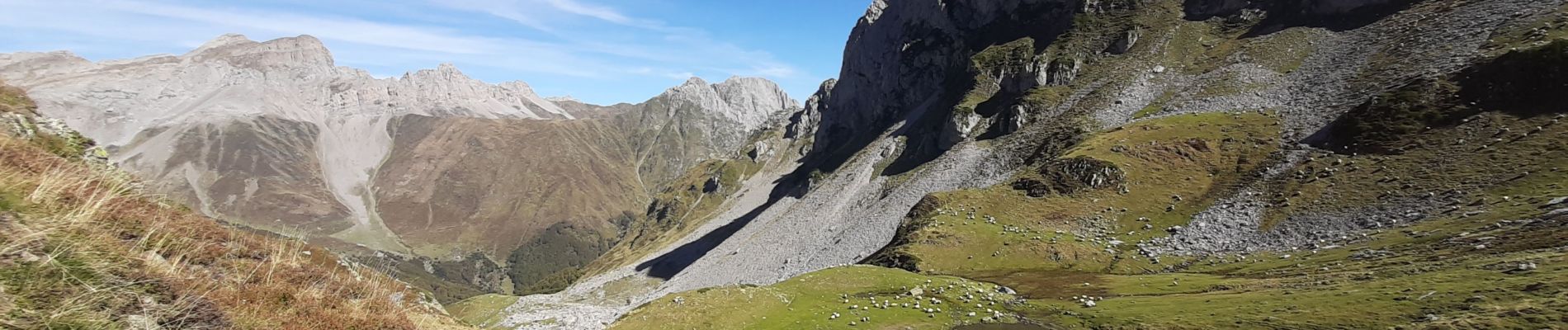
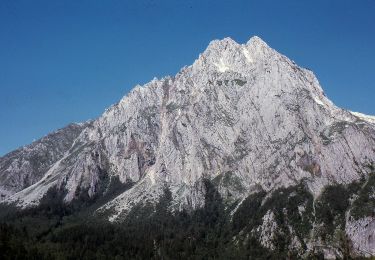
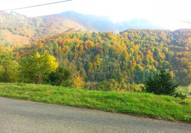
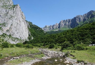
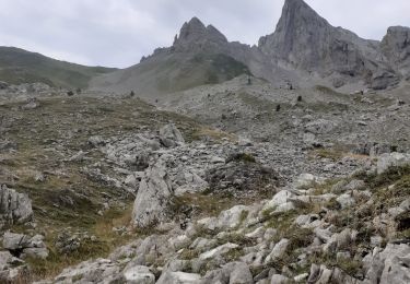
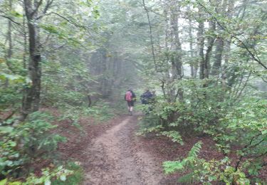
Très belle randonnée avec des vues magnifiques sur les monts et les vallées. Le sentier est pratiquement boisé jusqu'à la cabane d'Ansabère. Vente de fromages en été.


Stappen

Stappen
Te voet
Te voet
Te voet
Stappen

Stappen
Stappen
Te voet